Find Camping grounds by State
Mountain biking is a fun way to enjoy the outdoors and get a full workout. Compared to road bikes mountain bikes have:
Alabama 30
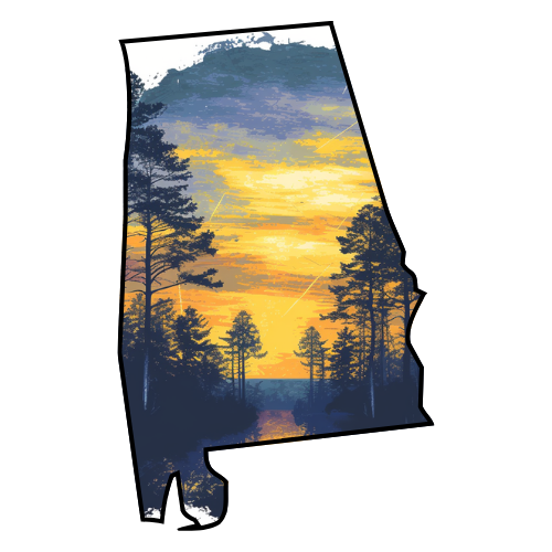
Alabama is a state located in the southeastern region of the United States of America. It is bordered by Tennessee to the north, Georgia to the east, Florida and the Gulf of Mexico to the south, and Mississippi to the west. Alabama ranks 30th in total land area and ranks second in the size of its inland waterways. The state ranks 23rd position in population with almost 4.6 million residents in 2006. Alabama is unofficially nicknamed the Yellowhammer State, which is also the name of the state bird. Alabama is also known as the "Heart of Dixie". The state tree is the Longleaf Pine; the state flower is the Camellia. The capital of Alabama is Montgomery.
Explore Parks | Explore Campgrounds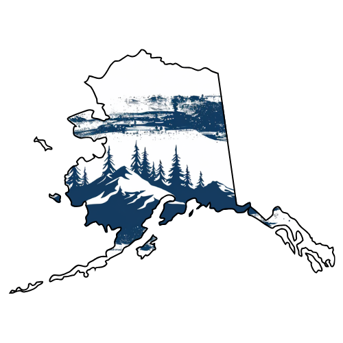
Alaska 57
Alaska is the largest state of the United States by area; it is situated in the northwest extremity of the North American continent, with Canada to the east, the Arctic Ocean to the north, and the Pacific Ocean to the west and south, with Russia further west across the Bering Strait.
Explore Parks | Explore Campgrounds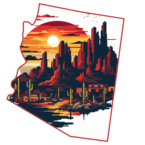
Arizona 63
The State of Arizona is a state located in the southwestern region of the United States. The capital and largest city is Phoenix. The second largest city is Tucson, followed in size by the four Phoenix metropolitan area cities of Mesa, Glendale, Chandler, and Scottsdale. Arizona is one of the Four Corners states. It borders New Mexico, Utah, Nevada, and California, touches Colorado, and has a 389-mile (626 km) international border with the states of Sonora and Baja California in Mexico. Because of its strong association with Southern California, it is sometimes considered a part of the West Coast region, despite not having a coastline. It is the largest landlocked US State by population.
Explore Parks | Explore Campgrounds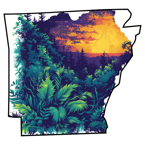
Arkansas 9
Arkansas is a state located in the southern region of the United States. Its name is an Algonquin name of the Quapaw Indians. Arkansas shares a border with six states, with its eastern border largely defined by the Mississippi River. Its diverse geography ranges from the mountainous regions of the Ozarks and the Ouachita Mountains, which make up the U.S. Interior Highlands, to the eastern lowlands along the Mississippi River. The capital and most populous city is Little Rock, located in the central portion of the state.
Explore Parks | Explore Campgrounds
California 366
California is the most populous state in the United States and the third largest by area. California is the second most populous sub-national entity in the Americas, behind only São Paulo, Brazil. It is located on the West Coast of the United States, and is bordered by Oregon to the north, Nevada to the northeast, Arizona to the southeast, the Mexican state of Baja California to the south, and the Pacific Ocean to the west. Its four largest cities are Los Angeles, San Diego, San Jose, and San Francisco. The state is home to the nation's second and sixth largest census statistical areas as well as eight of the nation's fifty most populous cities. California has a varied climate and geography, and a diverse population.
Explore Parks | Explore Campgrounds
Colorado 53
Colorado is a U.S. state located in the Rocky Mountain region of the United States of America. It may also be considered to be part of the Western and Southwestern regions of the United States. In rare cases eastern Colorado is considered part of the Midwestern United States. Colorado entered statehood in 1876 and was nicknamed the “Centennial State”. It is bordered to the north by Wyoming, to the south by New Mexico and Oklahoma, at the southwest corner by Arizona, to the east by Nebraska and Kansas and to the west by Utah.
Explore Parks | Explore Campgrounds
Connecticut 40
Connecticut is a state in the New England region of the northeastern United States. It is bordered by Rhode Island to the east, Massachusetts to the north, and New York to the west and south (because various islands of New York span Connecticut's entire coast). Southwestern Connecticut is part of the New York metropolitan area; three of Connecticut's eight counties, including most of the state's population, are in the New York City combined statistical area, commonly called the Tri-State Region. Connecticut's center of population is in Cheshire, New Haven County.
Explore Parks | Explore Campgrounds
Delaware 6
Delaware is a U.S. state located on the Atlantic Coast in the Mid-Atlantic region of the United States. The state takes its name from Thomas West, 3rd Baron De La Warr, a British nobleman and Virginia's first colonial governor, after whom (what is now called) Cape Henlopen was originally named.
Explore Parks | Explore Campgrounds
District of Columbia -
Washington, D.C. formally the District of Columbia and commonly referred to as Washington, the District, or simply D.C., is the capital of the United States, founded on July 16, 1790. The City of Washington was originally a separate municipality within the Territory of Columbia until an act of Congress in 1871 effectively merged the City and the Territory into a single entity called the District of Columbia. It is for this reason that the city, while legally named the District of Columbia, is known as Washington, D.C.
Explore Parks | Explore Campgrounds
Florida 378
Florida is a state located in the southeastern region of the United States, bordering Alabama to the northwest and Georgia to the north. It was the 27th state admitted to the United States. Much of the land mass of the state is a large peninsula with the Gulf of Mexico to the west, and the Atlantic Ocean to the east. It is nicknamed the "Sunshine State" because of its generally warm climate - subtropical in the northern and central regions of the state, with a true tropical climate in the southern portion. The state has four large urban areas, a number of smaller industrial cities, and many small towns. The United States Census Bureau estimates that the state population was 18,328,340 in 2008, ranking Florida as the fourth most populous state in the U.S. Tallahassee is the state capital, Jacksonville is the largest city, and the Miami metropolitan area is the largest metropolitan area.
Explore Parks | Explore Campgrounds
Georgia 41
Georgia is a state in the United States. One of the original Thirteen Colonies that revolted against British rule in the American Revolution, it had been the last of the Thirteen Colonies to be established, in 1733. Georgia was the fourth state to ratify the United States Constitution, on January 2, 1788. It declared its secession from the Union on January 21, 1861 and was one of the original seven Confederate states. It was the last state to be restored to the Union, on July 15, 1870. With an estimated 9,829,211 residents as of July 1, 2009, Georgia is the ninth most populous state. From 2007 to 2008, 14 of Georgia's counties ranked among the nation's 100 fastest-growing, second only to Texas. Georgia is known as the Peach State and the Empire State of the South. Atlanta is the capital and the most populous city.
Explore Parks | Explore Campgrounds
Hawaii -
Hawaii is the newest of the 50 U.S. states (August 21, 1959), and is the only state made up entirely of islands. It occupies most of an archipelago in the central Pacific Ocean, southwest of the continental United States, southeast of Japan, and northeast of Australia. Hawaii's natural beauty, warm tropical climate, inviting waters and waves, and active volcanoes make it a popular destination for tourists, surfers, biologists, and volcanologists alike. Due to its mid-Pacific location, Hawaii has many North American and Asian influences along with a vibrant native culture. Hawaii has over a million permanent residents along with many visitors and U.S. military personnel. Its capital is Honolulu on the island of Oahu.
Explore Parks | Explore Campgrounds
Idaho 15
Idaho is a state in the Pacific Northwest region of the United States of America. The state's largest city and capital is Boise. Residents are called "Idahoans." Idaho was admitted to the Union on July 3, 1890 as the 43rd state. Idaho is a mostly mountainous state larger than all of New England. It is landlocked, surrounded by the states of Washington, Oregon, Nevada, Utah, Wyoming, Montana and the Canadian Province of British Columbia. However, the network of dams and locks on the Columbia River and Snake River make Lewiston, Idaho the farthest inland seaport on the west coast of the continental United States.
Explore Parks | Explore Campgrounds
Illinois 59
Illinois the 21st state admitted to the United States of America is the most populous and demographically diverse Midwestern state and the fifth most populous state in the nation. With Chicago in the northeast, small industrial cities and great agricultural productivity in central and western Illinois, and natural resources like coal, timber, and petroleum in the south, Illinois has a broad economic base. Illinois is an important transportation hub; the Port of Chicago connects the Great Lakes to the Mississippi River via the Illinois River. Illinois is often viewed as a microcosm of the United States; an Associated Press analysis of 21 demographic factors found Illinois the "most average state", while Peoria has long been a proverbial social and cultural bellwether.
Explore Parks | Explore Campgrounds
Indiana 71
Indiana is a U.S. state, the 19th admitted to the Union. It is located in the Great Lakes region, and with approximately 6.3 million residents, is ranked 16th in population and 17th in population density. Indiana is ranked 38th in land area, and is the smallest state in the continental US west of the Appalachian Mountains. Its capital and largest city is Indianapolis, having the largest city proper population of any state capital east of the Mississippi River. Indiana has several metropolitan areas with populations greater than 100,000 as well as a number of smaller industrial cities and small towns. It is home to several major sports teams and athletic events including the NFL's Indianapolis Colts, the NBA's Indiana Pacers, and the Indianapolis 500 motorsports race (which is the largest single-day sporting event in the world).
Explore Parks | Explore Campgrounds
Iowa 25
Iowa is a state located in the Midwestern region of the United States, an area often referred to as the "American Heartland." It derives its name from the Ioway people, one of the many American Indian tribes that occupied the state at the time of European exploration. Iowa was a part of the French colony of New France. After the Louisiana Purchase, settlers laid the foundation for an agriculture-based economy in the heart of the Corn Belt. Iowa is often known as the "Food Capital of the World", but Iowa’s economy, culture, and landscape are diverse. In the mid and late 20th century, Iowa’s agricultural economy transitioned to a diversified economy of advanced manufacturing, processing, financial services, biotechnology, and green energy production. Iowa has been listed as one of the safest states in which to live. Des Moines is Iowa's capital and largest city.
Explore Parks | Explore Campgrounds
Kansas 27
Kansas is a state located in the Midwestern United States. It is named after the Kansas River which flows through it, which in turn was named after the Kansa tribe, which inhabited the area. The tribe's name is often said to mean "people of the wind" or "people of the south wind," although this was probably not the term's original meaning. Residents of Kansas are called "Kansans." Historically, the area was home to large numbers of nomadic Native Americans who hunted bison. It was first settled by European Americans in the 1830s, but the pace of settlement accelerated in the 1850s, in the midst of political wars over the slavery issue. When officially opened to settlement by the U.S. government in 1854, abolitionist Free-Staters from New England and pro-slavery settlers from neighboring Missouri rushed to the territory to determine if Kansas would become a free state or a slave state.
Explore Parks | Explore Campgrounds
Kentucky 24
The Commonwealth of Kentucky is a state located in the East Central United States of America. As classified by the United States Census Bureau, Kentucky is a Southern state. Kentucky is one of four U.S. states constituted as a commonwealth (the others being Virginia, Pennsylvania, and Massachusetts). Originally a part of Virginia, in 1792 it became the 15th state to join the Union. Kentucky is the 37th largest state in terms of total area, the 36th largest in land area, and ranks 26th in population.
Explore Parks | Explore Campgrounds
Louisiana 29
The State of Louisiana is a state located in the southern region of the United States of America. Its capital is Baton Rouge and largest city is New Orleans. Louisiana is the only state in the U.S. with political subdivisions termed parishes, which are local governments’ equivalent to counties. The largest parish by population is Jefferson Parish, and the largest by land area is Cameron Parish.
Explore Parks | Explore Campgrounds
Maine 222
The State of Maine is a state in the New England region of the northeastern United States, bordered by the Atlantic Ocean to the southeast, New Hampshire to the southwest, and the Canadian provinces of Quebec to the northwest and New Brunswick to the northeast. Maine is the northernmost portion of New England and is the easternmost state in the contiguous United States. It is known for its scenery - its jagged, mostly rocky coastline, its low, rolling mountains, and its heavily forested interior as well as for its seafood cuisine, especially lobsters and clams.
Explore Parks | Explore Campgrounds
Maryland 28
Maryland is a state located in the Mid Atlantic region of the United States, bordering Virginia, West Virginia and the District of Columbia to the south and west, Pennsylvania to the north, and Delaware to the east. It is comparable in size to the European country of Belgium. According to the U.S. Census Bureau, Maryland has the highest median household income of any state, having surpassed New Jersey in 2006; Maryland's median household income was $68,080 in 2007. For 2009, Maryland ranked first for the third year in a row as the U.S. state with the highest median income for 2008, with a median income of $70,545. It was the seventh state to ratify the United States Constitution and bears two nicknames, the Old Line State and the Free State.
Explore Parks | Explore Campgrounds
Massachusetts 81
The Commonwealth of Massachusetts is a state in the New England region of the northeastern United States. It is bordered by Rhode Island and Connecticut to the south, New York to the west, and Vermont and New Hampshire to the north; at its east lies the Atlantic Ocean. Most of its population of 6.6 million lives in the Boston metropolitan area. The eastern half of the state is made up of urban, suburban, and rural areas, while Western Massachusetts is mostly rural. Massachusetts is the most populous of the six New England states (which include Maine and Massachusetts' Border States except New York). It ranks third among U.S. states in GDP per capita.
Explore Parks | Explore Campgrounds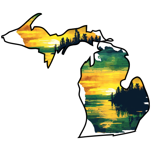
Michigan 100
Michigan is a Midwestern state of the United States of America. The name Michigan is a French adaptation of the Ojibwe word mishigama, meaning "large water" or "large lake". Michigan is the eighth most populous state in the United States. It has the longest freshwater shoreline of any political subdivision in the world, being bounded by four of the five Great Lakes, plus Lake Saint Clair. In 2005, Michigan ranked third among US states for the number of registered recreational boats, behind California and Florida. Michigan has 64,980 inland lakes and ponds. A person in the state is never more than six miles (10 km) from a natural water source or more than 87.2 miles (140.3 km) from a Great Lakes shoreline.
Explore Parks | Explore Campgrounds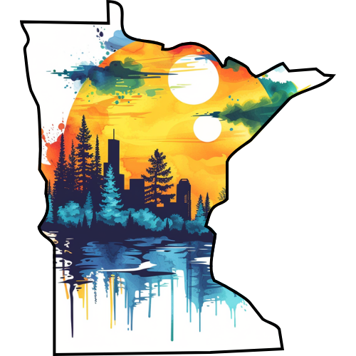
Minnesota -
Minnesota is a state in the Midwestern region of the United States. The twelfth largest state by area in the U.S., it is the twenty-first most populous, with 5.2 million residents. Minnesota was carved out of the eastern half of the Minnesota Territory and admitted to the Union as the thirty-second state on May 11, 1858. Known as the "Land of 10,000 Lakes", the state's name comes from a Dakota word for "sky-tinted water". Those waters, together with forests, parks, and wilderness areas, offer residents and tourists a variety of outdoor recreational opportunities.
Explore Parks | Explore Campgrounds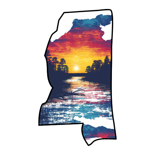
Mississippi 10
Mississippi is a state located in the Southern United States. Jackson is the state capital and largest city. The state's name comes from the Mississippi River, which flows along its western boundary, and takes its name from the Ojibwe word misi-ziibi ("Great River") or ("without source") in ancient Chickasaw. The state is heavily forested outside of the Mississippi Delta area. Its catfish aquaculture farms produce the majority of farm-raised catfish consumed in the United States. The state symbol is the magnolia tree.
Explore Parks | Explore Campgrounds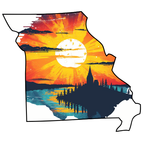
Missouri -
Missouri is a state in the Midwest region of the United States bordered by Iowa, Illinois, Kentucky, Tennessee, Arkansas, Oklahoma, Kansas and Nebraska. Missouri is the 18th most populous state with a 2009 estimated population of 5,987,580. It comprises 114 counties and one independent city. Missouri's capital is Jefferson City. The three largest urban areas are St. Louis, Kansas City, and Springfield. Missouri was originally acquired from France as part of the Louisiana Purchase and became defined as the Missouri Territory. Part of the Missouri Territory was admitted into the union as the 24th state in August 10, 1821.
Explore Parks | Explore Campgrounds
Montana 10
Montana is a state in the Western United States. The western third of the state contains numerous mountain ranges; other 'island' ranges are found in the central third of the state, for a total of 77 named ranges of the Rocky Mountains. This geographical fact is reflected in the state's name, derived from the Spanish word (mountain). The state nickname is the "Treasure State.
Explore Parks | Explore Campgrounds
Nebraska 5
Nebraska is a state located on the Great Plains of the Midwestern United States. The state's capital is Lincoln and its largest city is Omaha. American Indian tribes in Nebraska have included the Omahas, Missouria, Poncas, Pawnees, Otoes, and various branches of the Sioux. Once considered part of the Great American Desert (actually highly biodiverse prairie land), it is now a leading farming and ranching state. Nebraska is the only U.S. state with a unicameral legislature.
Explore Parks | Explore Campgrounds
Nevada -
Nevada is a state located in the western region of the United States. The capital is Carson City and the largest city is Las Vegas. The state's nickname is Silver State, due to the large number of silver deposits that were discovered and mined there. In 1864, Nevada became the 36th state to enter the union, and the phrase "Battle Born" on the state flag reflects the state's entry on the Union side during the American Civil War. Its first nonnative settlement was called Mormon Station.
Explore Parks | Explore Campgrounds
New Hampshire 52
New Hampshire is a state in the New England region of the northeastern United States of America. The state was named after the southern English county of Hampshire. It borders Massachusetts to the south, Vermont to the west, Maine and the Atlantic Ocean to the east, and the Canadian province of Quebec to the north. New Hampshire ranks 44th in land area, 46th in total area of the 50 states, and 41st in population.
Explore Parks | Explore Campgrounds
New Jersey -
New Jersey is a state in the Mid-Atlantic region of the United States. It is bordered on the northeast by New York, on the southeast and south by the Atlantic Ocean, on the west by Pennsylvania and on the southwest by Delaware. New Jersey lies largely within the sprawling metropolitan areas of New York and Philadelphia. It is the most densely populated state in the United States.
Explore Parks | Explore Campgrounds
New Mexico -
New Mexico is a state located in the southwestern region of the United States. Inhabited by Native American populations for many centuries, it has also been part of the Imperial Spanish viceroyalty of New Spain, part of Mexico, and a U.S. territory. Among U.S. states, New Mexico has the highest percentage of Hispanics at 45% (2008 estimate), being descendants of Spanish colonists and recent immigrants from Latin America. It also has the third-highest percentage of Native Americans after Alaska and Oklahoma, and the fifth-highest total number of Native Americans after California, Oklahoma, Arizona, and Texas. The tribes represented in the state consist of mostly Navajo and Pueblo peoples. As a result, the demographics and culture of the state are unique for their strong Hispanic, Mexican, and Native American cultural influences. At a population density of 16 per square mile, New Mexico is the sixth most sparsely inhabited U.S. state.
Explore Parks | Explore Campgrounds
New York -
New York is a state in the Mid-Atlantic and Northeastern regions of the United States and is the nation's third most populous. The state is bordered by New Jersey and Pennsylvania to the south, and Connecticut, Massachusetts and Vermont to the east. The state has a maritime border with Rhode Island east of Long Island, as well as an international border with the Canadian provinces of Ontario to the west, and Quebec to the north. New York is often referred to as New York State to distinguish it from New York City.
Explore Parks | Explore Campgrounds
North Carolina 95
North Carolina is a state located on the Atlantic Seaboard in the southeastern United States. The state borders South Carolina and Georgia to the south, Tennessee to the west and Virginia to the north. North Carolina contains 100 counties. Its capital is Raleigh, and its largest city is Charlotte.
Explore Parks | Explore Campgrounds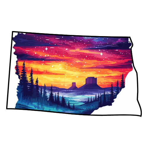
North Dakota 3
North Dakota is a state located in the Midwestern region of the United States of America; on the Canadian border halfway between the Pacific and Atlantic oceans. North Dakota is the 19th largest state by area in the U.S.; it is the 3rd least populous, with just over 646,844 residents as of 2009. North Dakota was carved out of the northern half of the Dakota Territory and admitted to the Union on November 2, 1889.
Explore Parks | Explore Campgrounds
Ohio -
Ohio is a Midwestern state of the United States.] The 34th largest state by area in the U.S., it is the 7th-most populous with nearly 11.5 million residents. The capital of Ohio is Columbus. Ohio, whose name was derived from the Seneca word ohi:yo’, meaning "large creek," was formed primarily from the Ohio Territory and was admitted to the Union as the 17th state (and the first under the Northwest Ordinance) on March 1, 1803. Ohio is known as the "Buckeye State" for its prevalence of Ohio Buckeye trees, and, as such, Ohioans are also known as "Buckeyes."
Explore Parks | Explore Campgrounds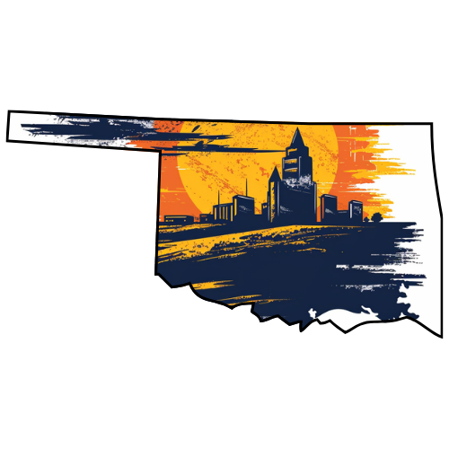
Oklahoma 9
Oklahoma is a state located in the South Central region of the United States of America. With an estimated 3,687,050 residents in 2009 and a land area of 68,667 square miles (177,847 km²), Oklahoma is the 28th most populous and 20th-largest state. The state's name is derived from the Choctaw words okla and humma, meaning "red people", and is known informally by its nickname, The Sooner State. Formed by the combination of Oklahoma Territory and Indian Territory on November 16, 1907, Oklahoma was the 46th state to enter the union. Its residents are known as Oklahomans, and its capital and largest city is Oklahoma City.
Explore Parks | Explore Campgrounds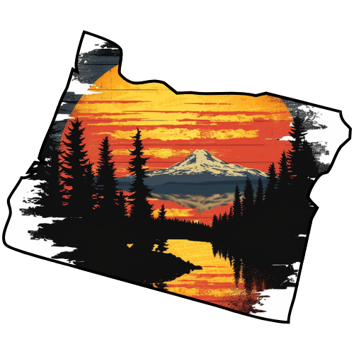
Oregon 37
Oregon is a state in the Pacific Northwest region of the United States. It is located on the Pacific coast, with Washington to the north, California to the south, Nevada on the southeast and Idaho to the east. The Columbia and Snake rivers delineate much of Oregon's northern and eastern boundaries respectively.
Explore Parks | Explore Campgrounds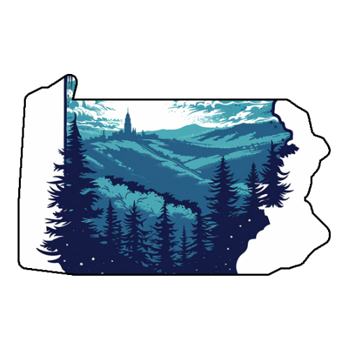
Pennsylvania 117
The Commonwealth of Pennsylvania is a state located in the Northeastern and Middle Atlantic regions of the United States. The state borders Delaware and Maryland to the south, West Virginia to the southwest, Ohio to the west, New York and Ontario, Canada to the north, and New Jersey to the east. The state's four most populous cities are, respectively, Philadelphia, Pittsburgh, Allentown and Erie. The state capital is Harrisburg.
Explore Parks | Explore Campgrounds
Rhode Island 8
The State of Rhode Island and Providence Plantations, more commonly referred to as Rhode Island is a state in the New England region of the United States. It is the smallest U.S. state by area. Rhode Island borders Connecticut to the west, Massachusetts to the north and east, and shares a water boundary with New York's Fishers Island to the southwest.
Explore Parks | Explore Campgrounds
South Carolina 23
South Carolina is a southern U.S. state that borders Georgia to the south and North Carolina to the north. Originally part of the Province of Carolina, the Province of South Carolina was one of the 13 colonies that declared independence from the British Crown during the American Revolution. The colony was originally named in honor of King Charles I, as Carolus is Latin for Charles. South Carolina was the first state to vote to secede from the Union and was the founding state of the Confederate States of America. According to an estimate by the United States Census Bureau, the state's population in 2009 was 4,561,242 and ranked 24th among the U.S. states. South Carolina contains 46 counties and its capital is Columbia.
Explore Parks | Explore Campgrounds
South Dakota 41
South Dakota is a state located in the Midwestern region of the United States of America. It is named after the Lakota and Dakota Sioux American Indian tribes. South Dakota was carved out of the southern half of the Dakota Territory and admitted to the Union on November 2, 1889. Centrally located Pierre is the state capital and Sioux Falls is the state's largest city. As of 2009, South Dakota had an estimated population of 812,383.
Explore Parks | Explore Campgrounds
Tennessee 52
Tennessee is a state located in the Southeastern United States. It has a population of 6,214,888, making it the nation's 17th-largest state by population, and covers 42,169 square miles (109,220 km2), making it the 36th-largest by total land area. Tennessee is bordered by Kentucky and Virginia to the north, North Carolina to the east, Georgia, Alabama, and Mississippi to the south, and Arkansas and Missouri to the west. The Appalachian Mountains dominate the eastern part of the state, and the Mississippi River forms the state's western border. Tennessee's capital and second largest city is Nashville, which has a population of 626,144. Memphis is the state's largest city, with a population of 670,902. Nashville has the state's largest metropolitan area, at 1,521,437 people.
Explore Parks | Explore Campgrounds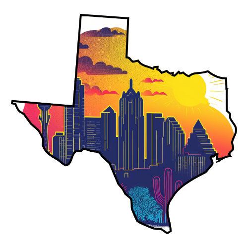
Texas 152
Texas is the second-largest U.S. state in both area and population, and the largest state in the contiguous United States. The name, meaning "friends" or "allies" in Caddo, was applied by the Spanish to the Caddo themselves and to the region of their settlement in East Texas. Located in the South Central United States, Texas is bordered by Mexico to the south, New Mexico to the west, Oklahoma to the north, Arkansas to the northeast, and Louisiana to the east. Texas has an area of 268,820 square miles (696,200 km2), and a growing population of 24.7 million residents.
Explore Parks | Explore Campgrounds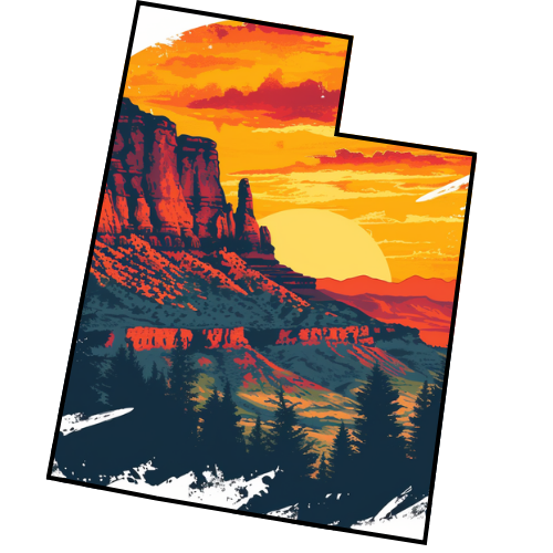
Utah 13
Utah is a western state of the United States. It was the 45th state admitted to the Union, on January 4, 1896. Approximately 80% of Utah's 2,736,424 people live along the Wasatch Front, centering on Salt Lake City. This leaves vast expanses of the state nearly uninhabited, making the population the sixth most urbanized in the U.S. The name "Utah" is derived from the Ute language, meaning "people of the mountains."[6] Utah is bordered by Arizona on the south, Colorado on the east, Wyoming on the northeast, Idaho on the north and Nevada on the west. It also touches a corner of New Mexic;o.
Explore Parks | Explore Campgrounds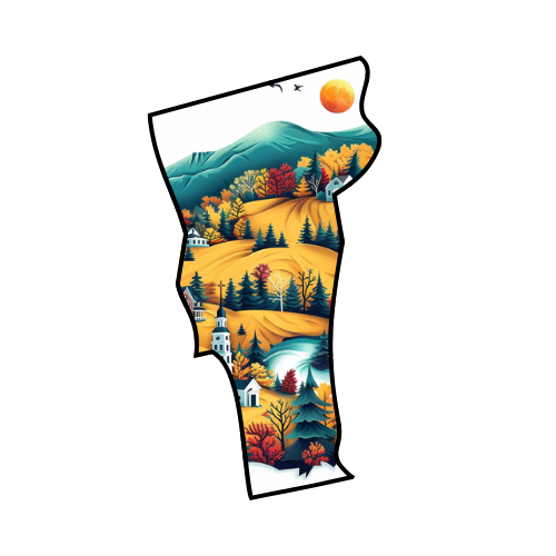
Vermont 17
The State of Vermont is a state in the New England region of the northeastern United States of America. The state ranks 43rd by land area, 9,250 square miles (24,000 km2), and 45th by total area. It has a population of 621,270, making it the second least-populated state (with only Wyoming having fewer residents). The only New England state with no coastline along the Atlantic Ocean, Vermont is notable for Lake Champlain (which makes up 50% of Vermont's western border) and the Green Mountains, which run north to south. It is bordered by Massachusetts to the south, New Hampshire to the east, New York to the west, and the Canadian province of Quebec to the north.
Explore Parks | Explore Campgrounds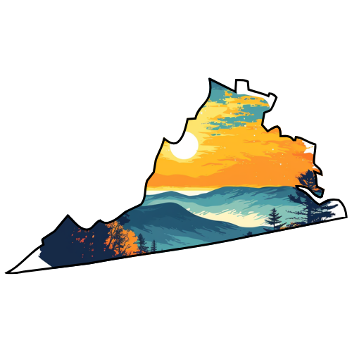
Virginia 67
The Commonwealth of Virginia is a U.S. state on the Atlantic Coast of the Southern United States. Virginia is nicknamed the "Old Dominion" and sometimes the "Mother of Presidents" because it is the birthplace of eight U.S. presidents. The geography and climate of the state are shaped by the Blue Ridge Mountains and the Chesapeake Bay, which are home too much of its flora and fauna. The capital of the Commonwealth is Richmond; Virginia Beach is the most populous city and Fairfax County the most populous political subdivision. The state population is nearly eight million.
Explore Parks | Explore Campgrounds
Washington -
Washington is a state in the Pacific Northwest region of the United States. Washington was carved out of the western part of Washington Territory which had been ceded by Britain in 1846 by the Oregon Treaty as settlement of the Oregon Boundary Dispute. It was admitted to the Union as the forty-second state in 1889. The United States Census Bureau estimated the state's population was 6,664,195 as of 2009.
Explore Parks | Explore Campgrounds
West Virginia 14
West Virginia is a state in the Appalachian and Mid-Atlantic regions of the United States, bordered by Virginia to the southeast, Kentucky to the southwest, Ohio to the northwest, and Pennsylvania and Maryland to the northeast. The capital and largest city is Charleston. West Virginia became a state following the Wheeling Conventions, breaking away from Virginia during the American Civil War. The new state was admitted to the Union on June 20, 1863, and was a key Civil War border state. West Virginia was the only state to form by seceding from a Confederate state, and was one of only two states formed during the American Civil War (the other one being Nevada, which separated from Utah Territory).
Explore Parks | Explore Campgrounds
Wisconsin 41
Wisconsin is the 30th of the fifty U.S. states. Located in the north-central United States, Wisconsin is considered part of the Midwest. It is bordered by Minnesota to the west, Iowa to the southwest, Illinois to the south, Lake Michigan to the east, Michigan to the northeast, and Lake Superior to the north. Wisconsin's capital is Madison, and its largest city is Milwaukee. As of 2008 there are an estimated 5.6 million residents.
Explore Parks | Explore Campgrounds
Wyoming 14
Wyoming is a state in the Western United States. The majority of the state is dominated by the mountain ranges and rangelands of the Rocky Mountain West, while the easternmost section of the state includes part of a high elevation prairie region known as the High Plains. While the tenth largest U.S. state by size, Wyoming is the least populous, with a U.S. Census estimated population of 544,270 in 2009, a 5.9% increase since 2000. The capital and the most populous city of Wyoming is Cheyenne.
Explore Parks | Explore Campgrounds