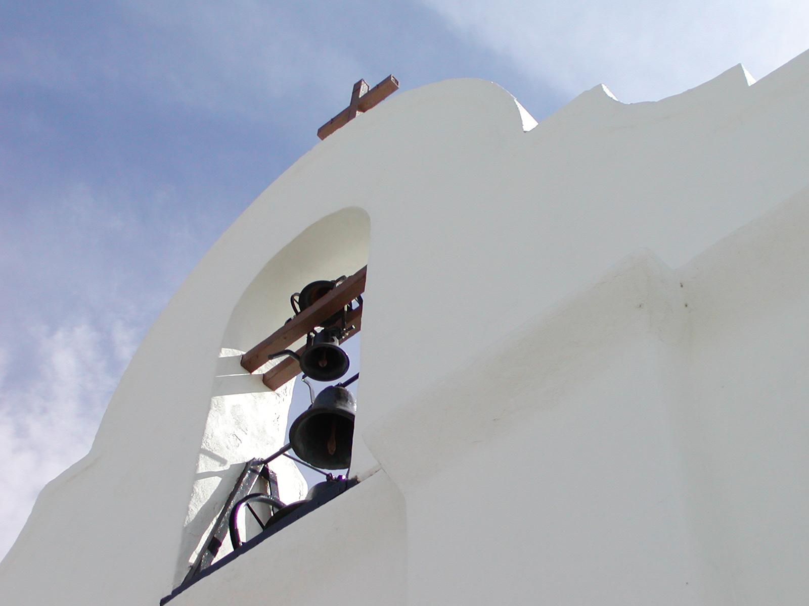
A site along the Butterfield Overland National Historic Trail
Butterfield Overland
In 1857, businessman and transportation entrepreneur John Butterfield was awarded a contract to establish an overland mail route between the eastern United States and growing populations in the Far West. What became known as the Butterfield Overland
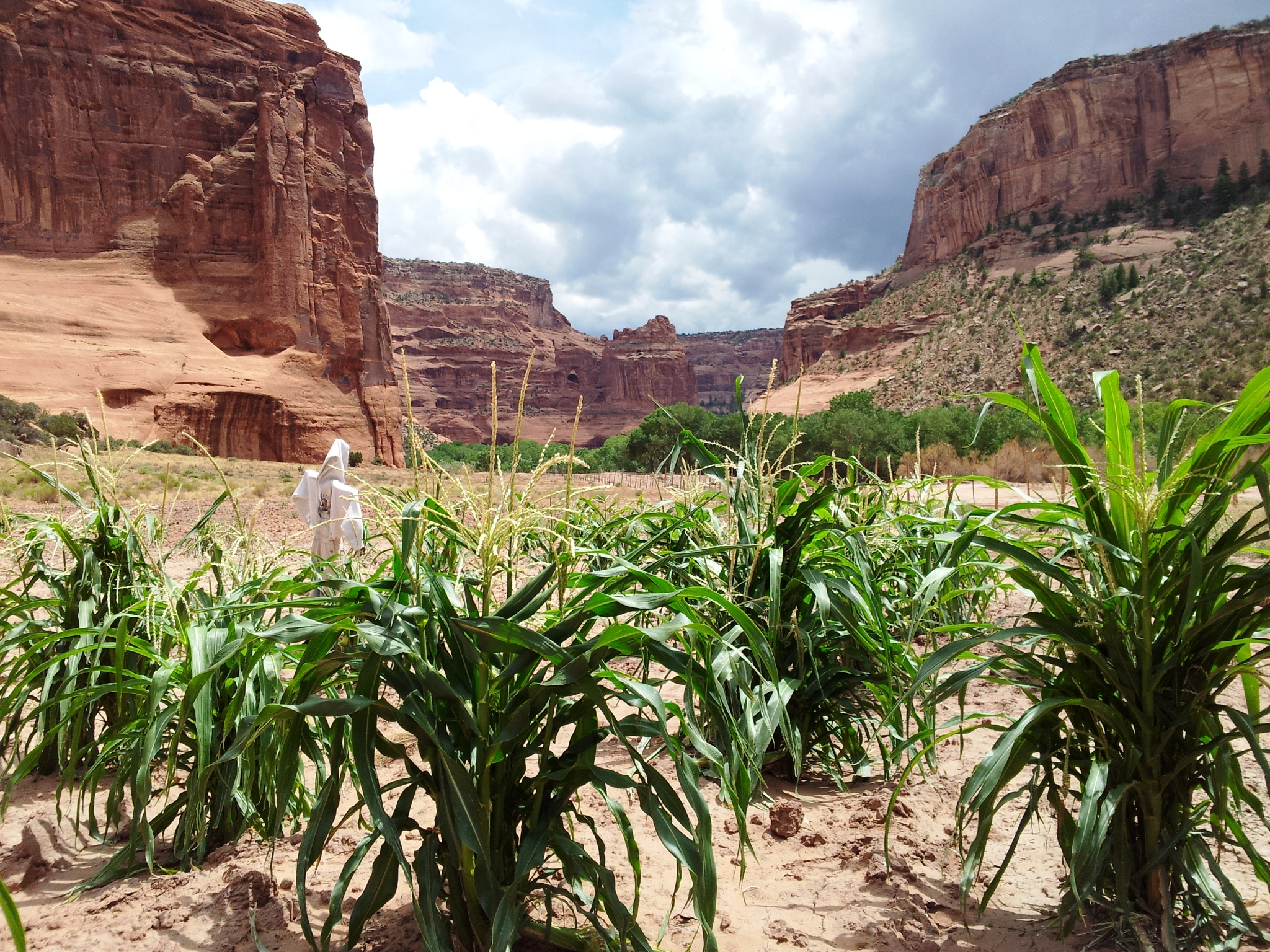
Navajo families continue to live and farm in the canyon they call Tsegi
Canyon de Chelly
This canyon is home to Diné families who raise livestock, grow crops and live here. People have lived in these canyons for nearly 5,000 years, which is longer than anyone has lived continuously on the Colorado Plateau. In this place called Tsegi, the
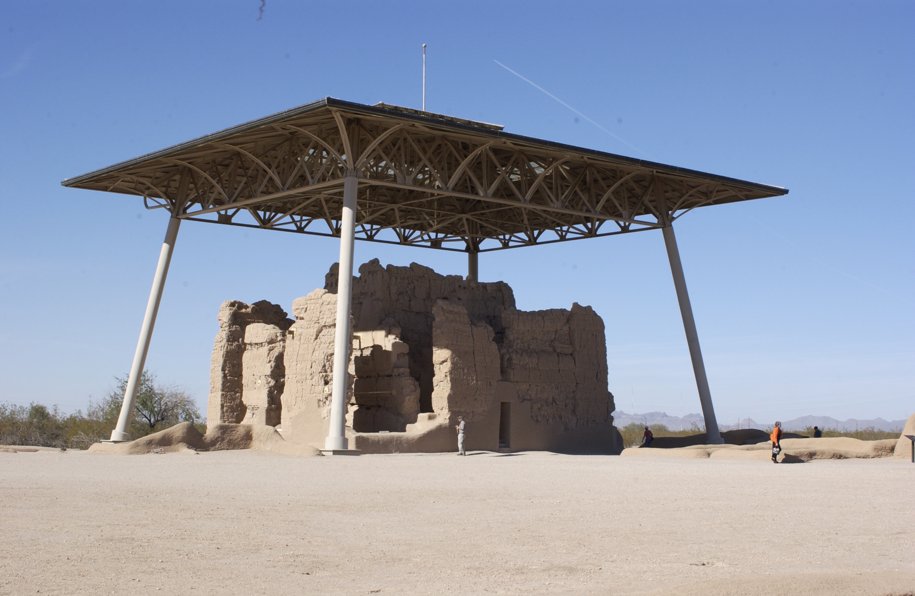
The Great House at Casa Grande Ruins has existed for over 600 years.
Casa Grande Ruins
An Ancestral Sonoran Desert People's farming community and "Great House" are preserved at Casa Grande Ruins. Whether a gathering place for people or simply a waypoint marker in an extensive system of canals and trading partners, the structures are a
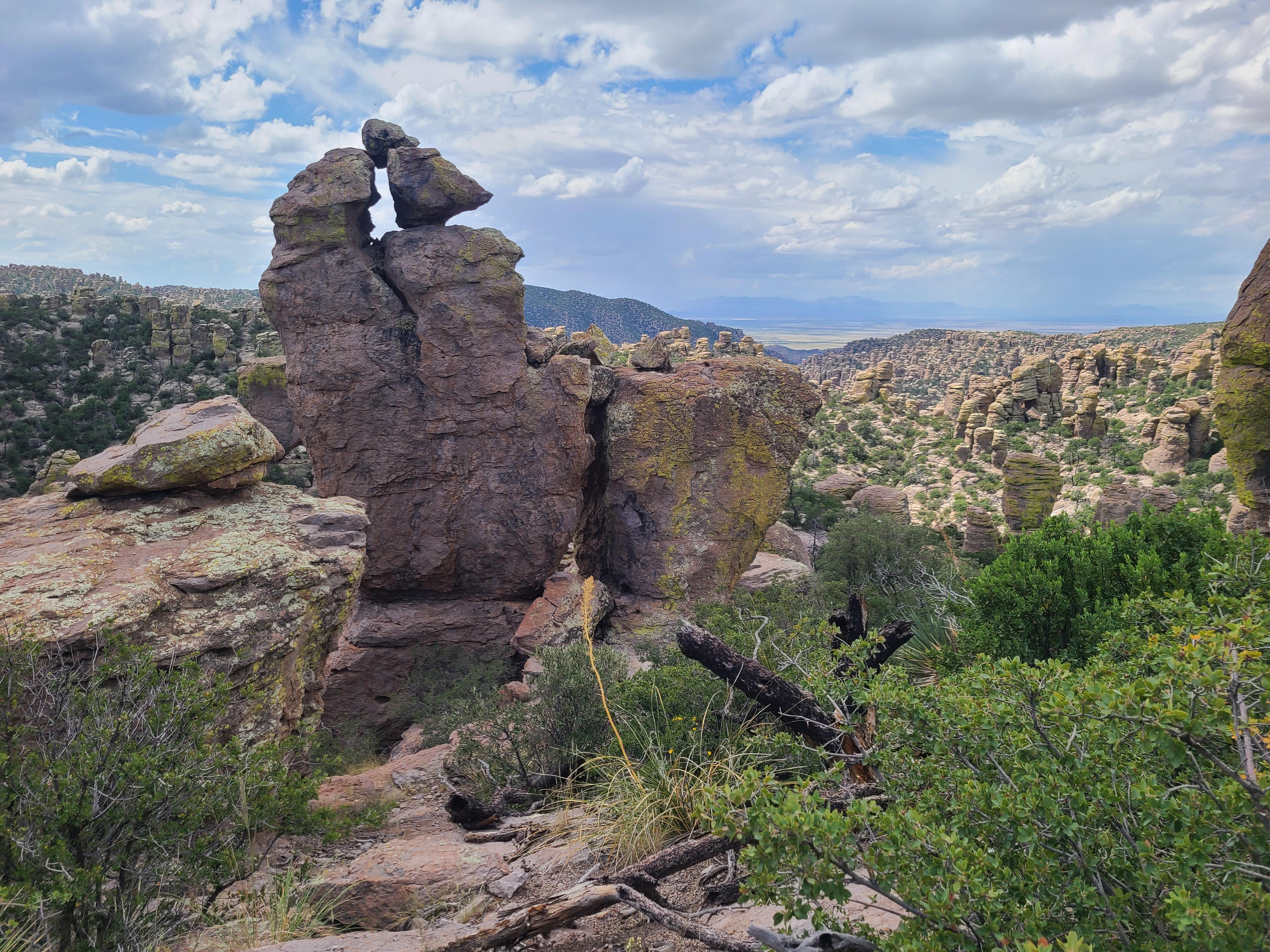
Massai Point offers excellent views of the standing rocks at Chiricahua
Chiricahua
Explore rhyolite pinnacles and balanced rocks on foot or by car. Relax at the campground under star-filled, dark skies. See how a mountain range rising between two deserts creates a home for diverse wildlife. Imagine history here. Prehistoric peoples
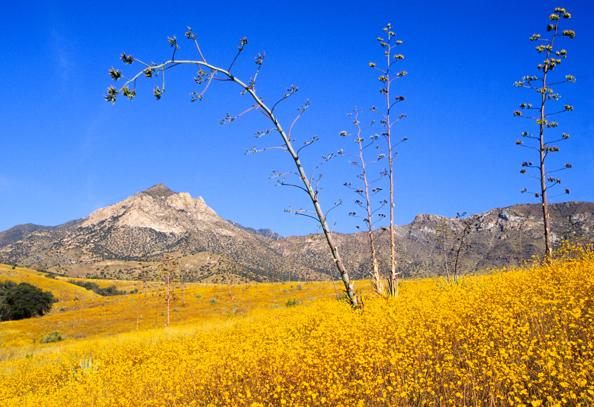
A field of wildflowers blooms in the grasslands, one of the many life zones in the park
Coronado
It was a journey of conquest filled with exploration, wonder - and cruelty. Inspired by tales of vast cities of gold, 339 European soldiers and over a thousand Aztec allies embarked on an epic journey through arid deserts and rugged mountains. They e
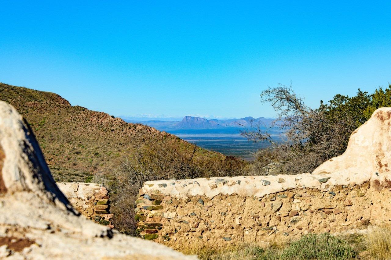
San Simon Valley can be seen just beyond the ruins of the cavalry barracks.
Fort Bowie
For nearly 25 years, Fort Bowie stood at the crossroads of the Chiricahua Apache's fight to defend their ancestral homeland and the U.S. Army's westward expansion. Today, visitors embark on a 3-mile scenic loop trail traversing the ground where this
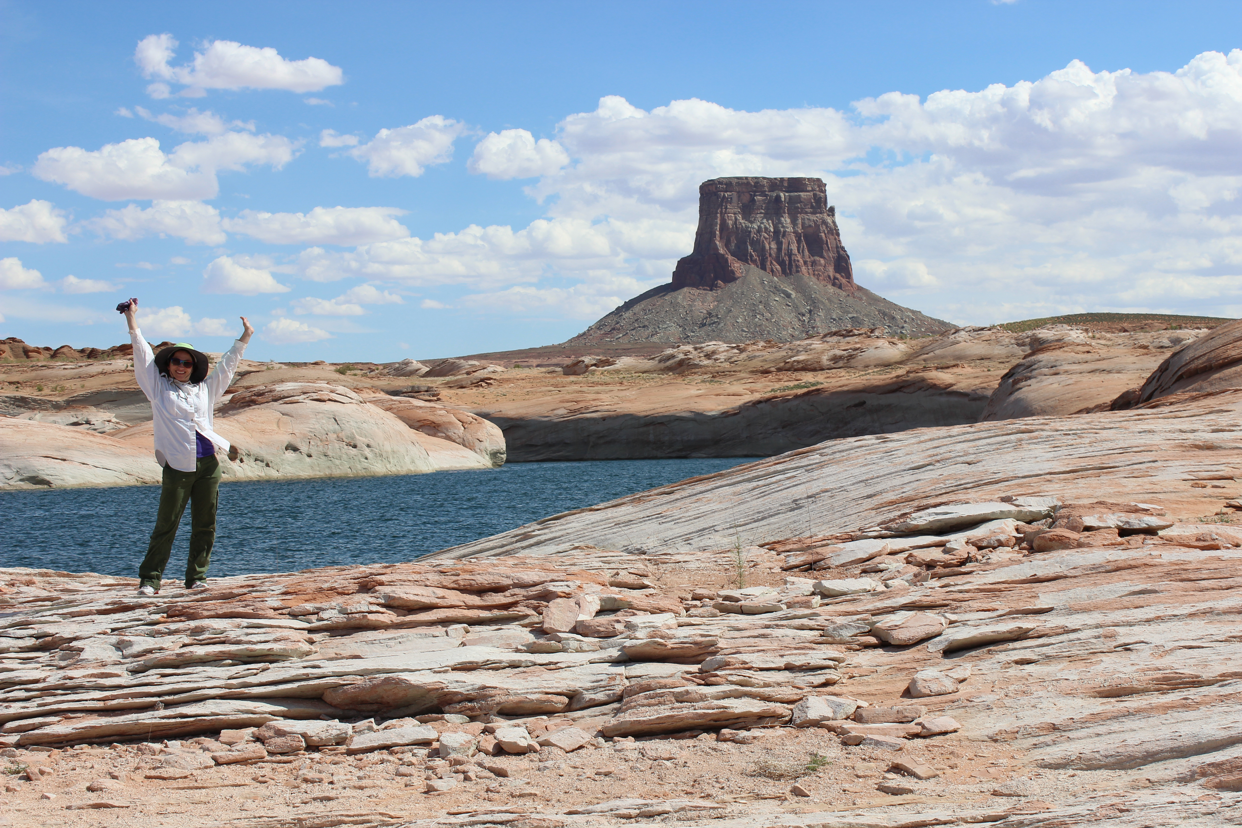
Spending time on Lake Powell near Tower Butte can make anyone excited.
Glen Canyon
Encompassing over 1.25 million acres, Glen Canyon National Recreation Area offers unparalleled opportunities for water-based & backcountry recreation. The recreation area stretches for hundreds of miles from Lees Ferry in Arizona to the Orange Cliffs

People come from all over the world to view Grand Canyon's sunset
Grand Canyon
Entirely within the state of Arizona, the park encompasses 278 miles (447 km) of the Colorado River and adjacent uplands. Located on the ancestral homelands of 11 present day Tribal Communities, Grand Canyon is one of the most spectacular examples of
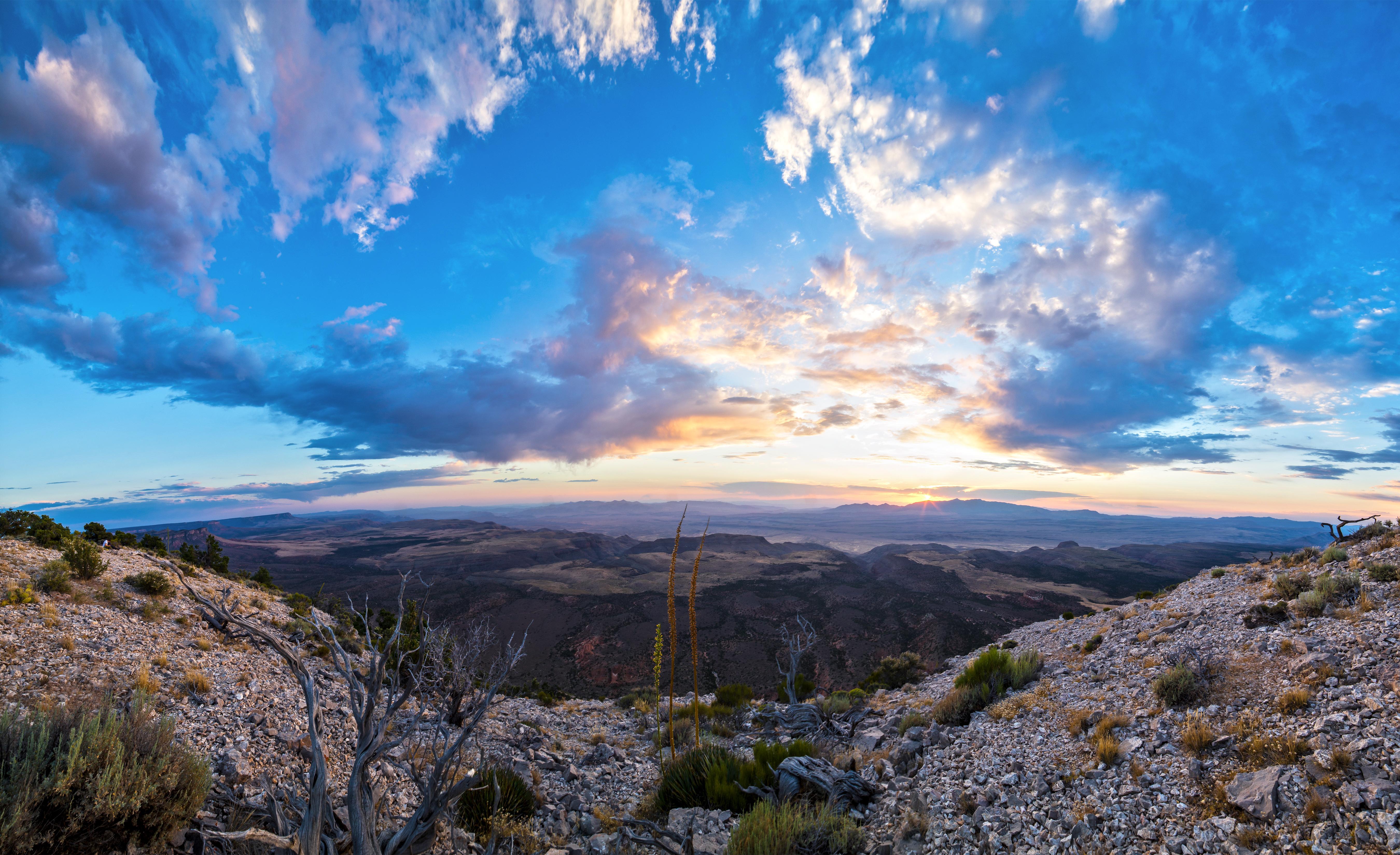
The sun sets behind the Pakoon Basin.
Grand Canyon-Parashant
Despite the hardships created by rugged isolation and the lack of natural waters, Parashant has a long human history spanning more than 11,000 years, and an equally rich geologic history spanning almost two billion years. Full of natural splendor and
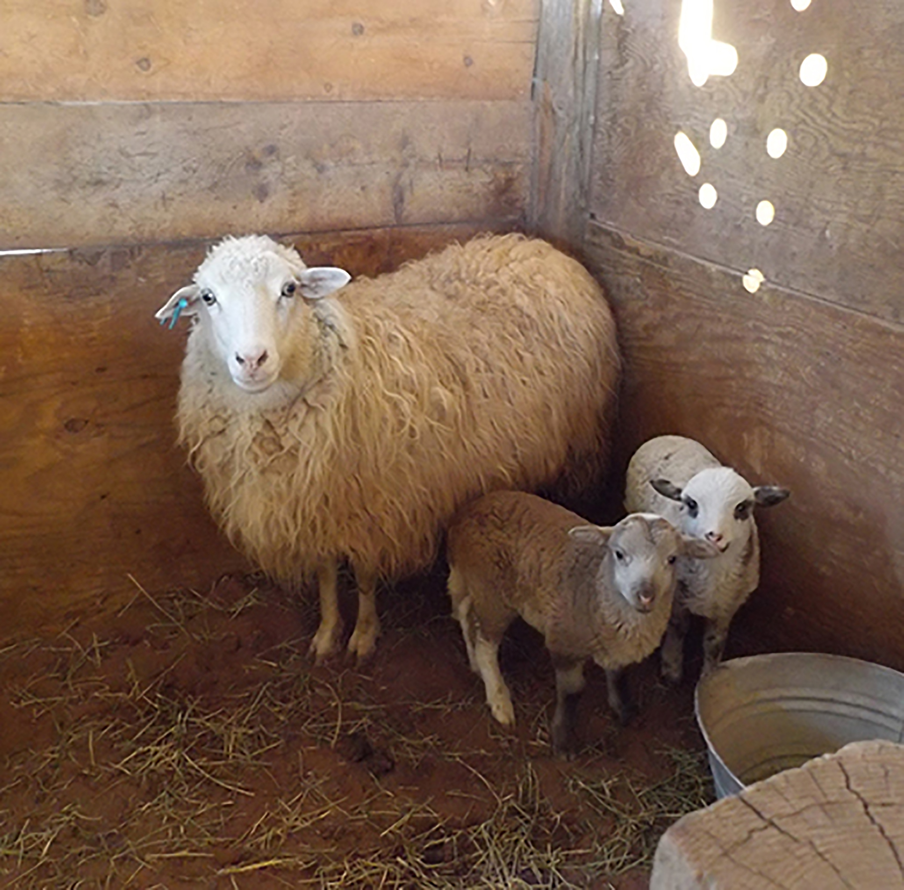
Each spring Navajo-Churro ewes give birth to their lambs at Hubbell Trading Post.
Hubbell Trading Post
Wóshdę́ę́, please come in where the squeaky wooden floors greet your entry into the oldest operating Trading Post on the Navajo Nation. As your eyes adjust to the dim light in the "bullpen", you'll find you've just entered a mercantile. Hubbell's in
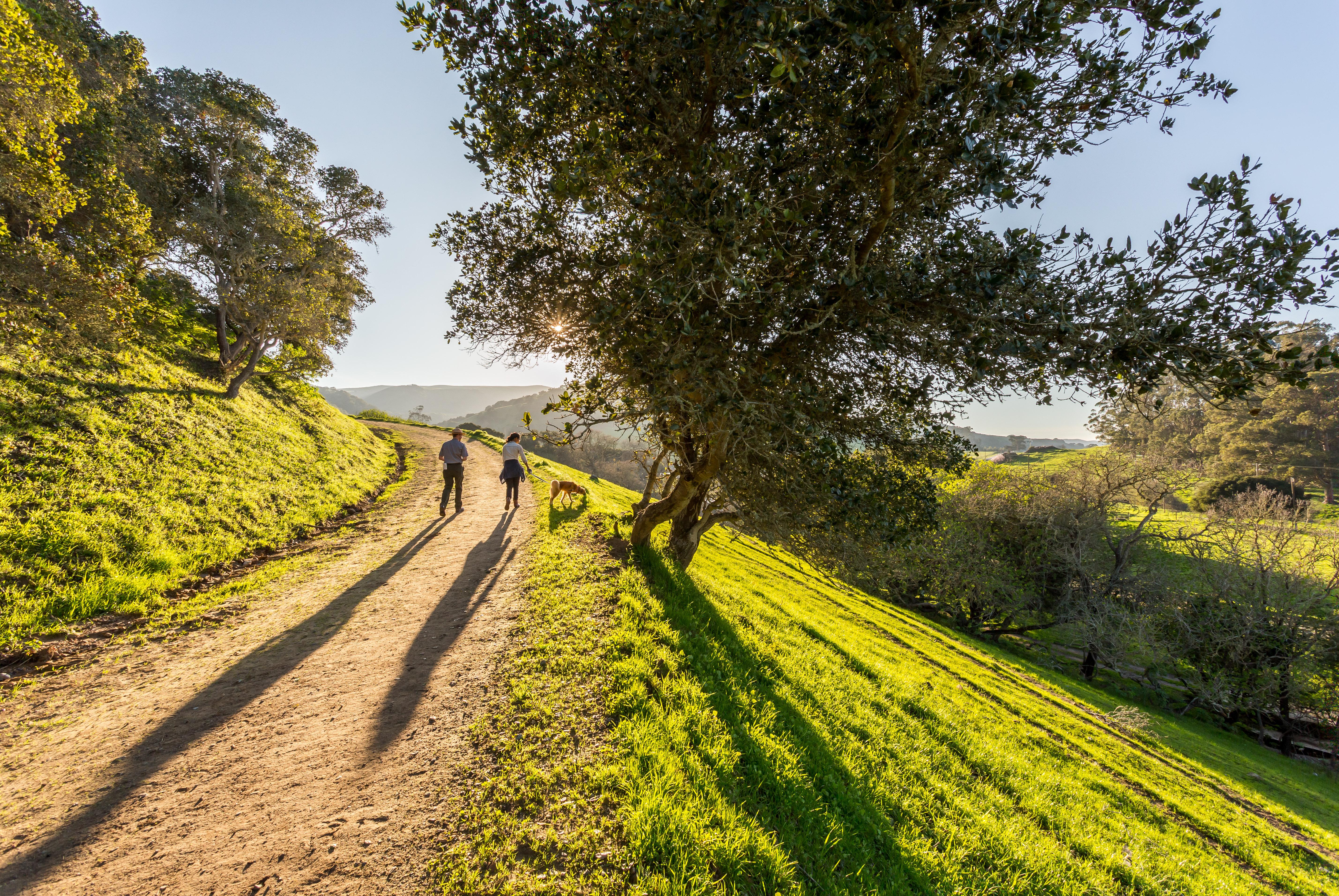
The Anza Trail in San Juan Bautista
Juan Bautista de Anza
The Juan Bautista de Anza National Historic Trail covers over 1200 miles through the homelands of 70+ Tribal communities. It follows the historic route of the 1775-76 Spanish colonizing expedition from Sonora, Mexico to San Francisco, CA. Whether urb
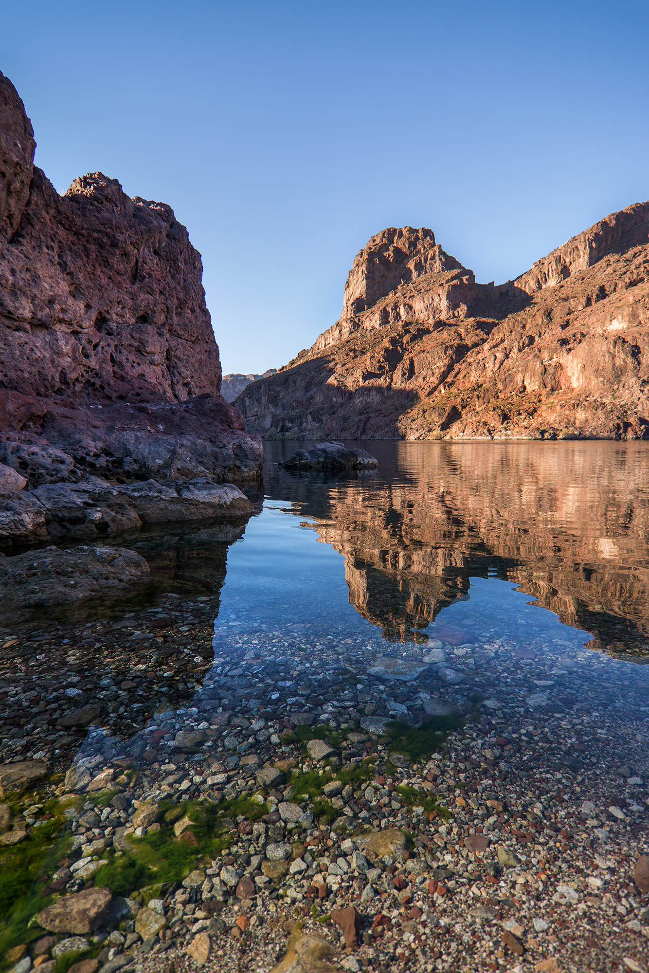
Visit Black Canyon Water Trail for rafting or kayaking
Lake Mead
Experience outdoor thrills, striking landscapes, and brilliant blue waters. This year-round recreation area spreads across 1.5 million acres of mountains, canyons, valleys and two vast reservoirs. Visitors come here for scenic drives, biking, hiking,
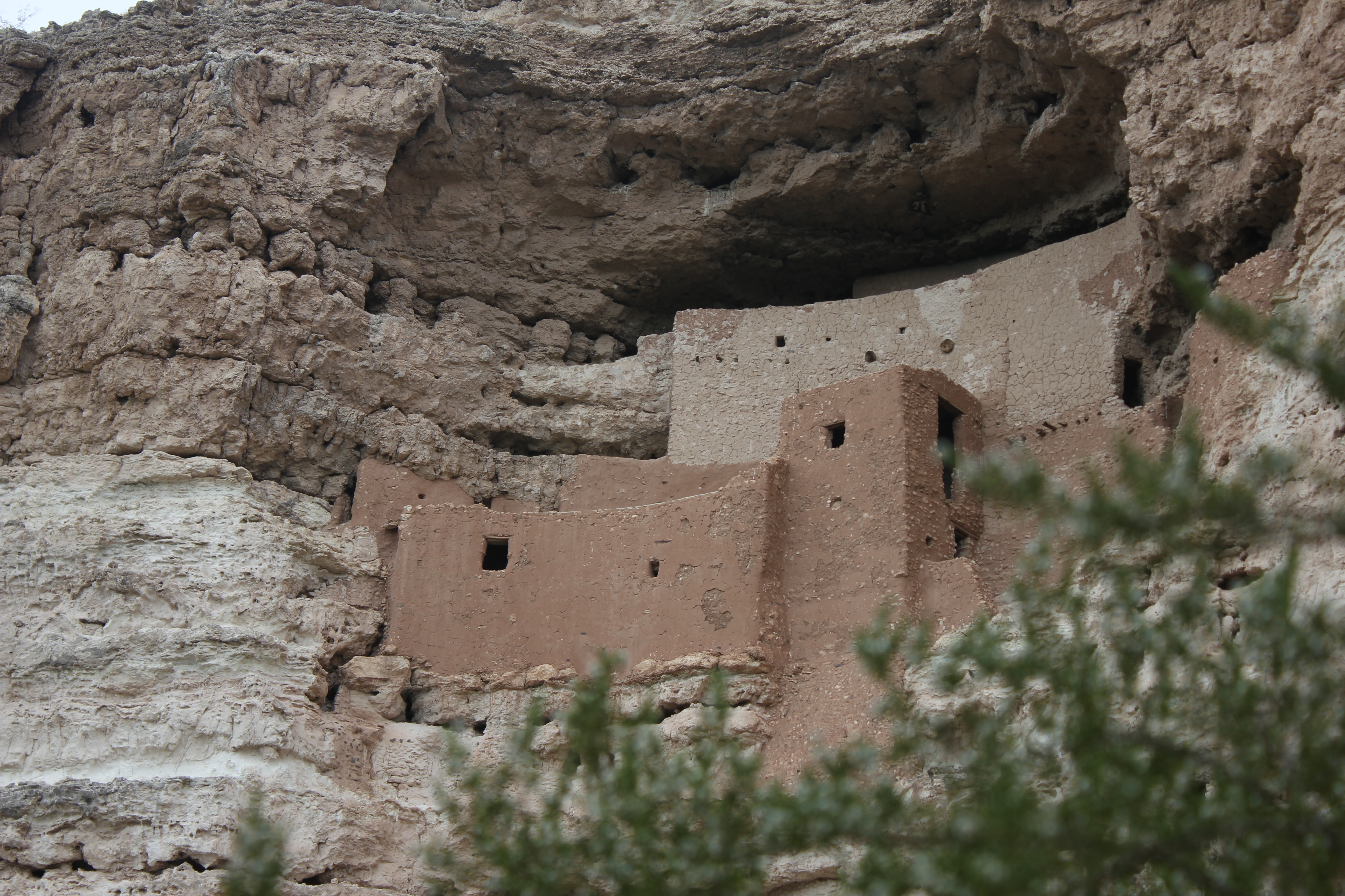
Montezuma Castle was built in an alcove about 90 feet up a cliff. This protects the dwelling from flooding.
Montezuma Castle
Established December 8, 1906, Montezuma Castle is the third National Monument dedicated to preserving Native American culture. This 20 room high-rise apartment, nestled into a towering limestone cliff, tells a story of ingenuity, survival and ultimat
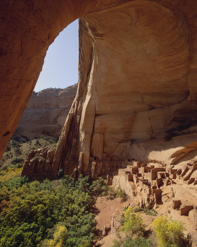
Betatakin Cliff Dwelling was home to the Ancestral Puebloans over 700 years ago.
Navajo
For centuries, the Hopi, San Juan Southern Paiute, Zuni, and Navajo people have lived in the canyons. Springs fed farmlands on the canyon floor and homes were built in the natural sandstone alcoves. The cliff dwellings of Betatakin, Keet Seel, and In
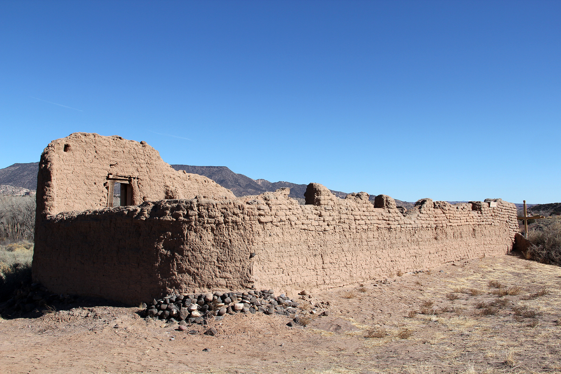
Santa Rosa de Lima de Abiquiú provided a way station for travelers along the Old Spanish Trail in the 1800s. It is privately owned by the Archdiocese of Santa Fe.
Old Spanish
Follow the routes of mule pack trains across the Southwest on the Old Spanish National Historic Trail between Santa Fe, New Mexico, and Los Angeles, California. New Mexican traders moved locally produced merchandise across what are now six states to
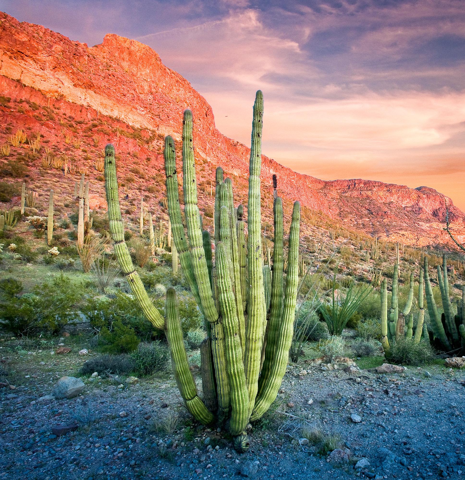
Visit the only place in the U.S. where you can see large stands of organ pipe cacti.
Organ Pipe Cactus
Look closely. Look again. The sights and sounds of Organ Pipe Cactus National Monument, an International Biosphere Reserve, reveal a thriving community of plants and animals. Human stories echo throughout the Sonoran Desert, chronicling thousands of

Sunrise and sunset are favorite times to view the colorful Painted Desert of the Petrified Forest National Wilderness Area
Petrified Forest
Park Hours: 8am to 5pm, MST. Don't forget that Arizona does not observe Daylight Savings. Petrified Forest is best known for its Triassic fossils. It's like having two parks in one, an ecosystem over 200 million years old with plants and animals now
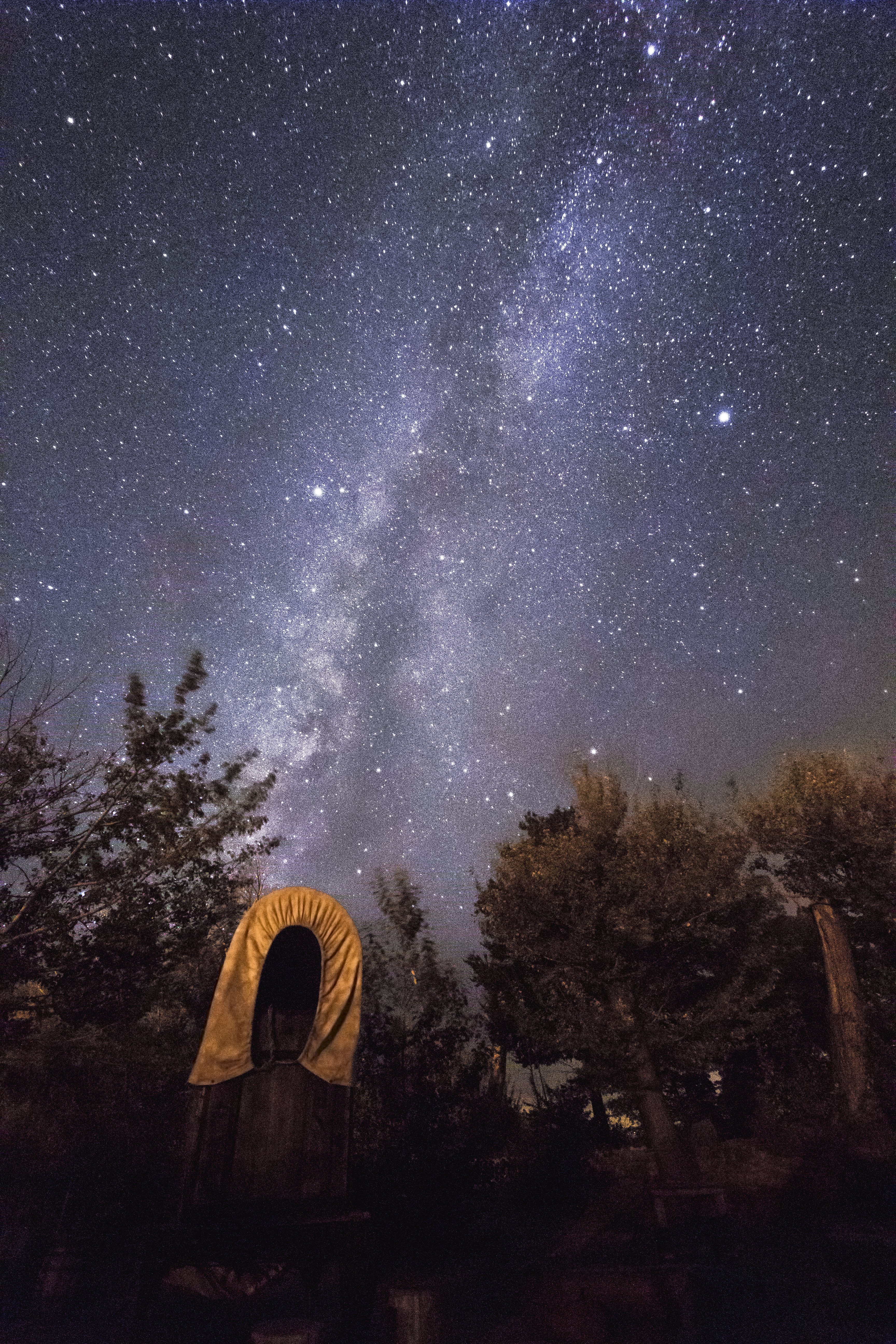
The Milky Way glitters above the chuckwagon at Pipe Spring National Monument. The monument has great night sky clarity because it is located inside the first Dark Sky Nation: The Kaibab Indian Reservation.
Pipe Spring
The rich history of Pipe Spring and its flowing water comes alive as you explore the traditions of the Kaibab Paiute and the Mormon settlers through the museum, historic fort, cabins, and garden. Hike the Ridge Trail to enjoy geologic wonders, plants

The flowering season in Saguaro National Park attracts visitors from all over the world.
Saguaro
Tucson, Arizona is home to the nation's largest cacti. The giant saguaro is the universal symbol of the American west. These majestic plants, found only in a small portion of the United States, are protected by Saguaro National Park, to the east and
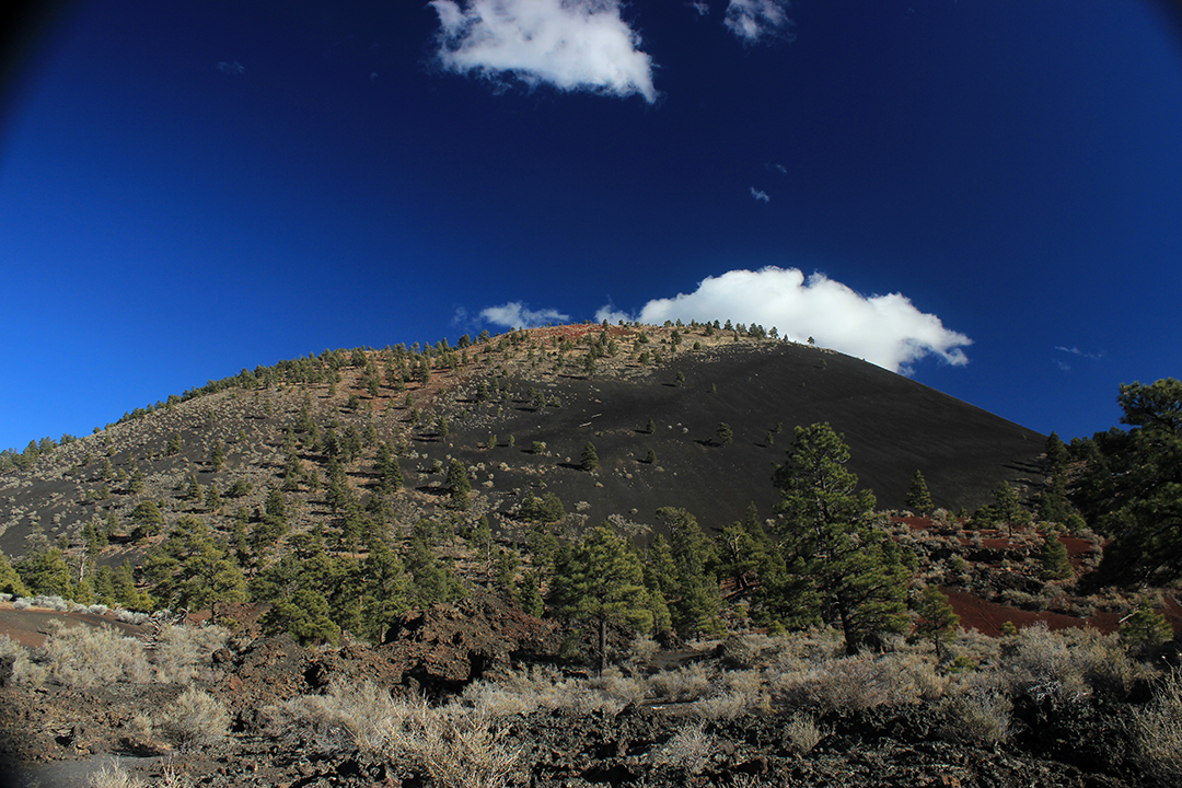
Sunset Crater Volcano is named for the color of the rusty red cinders near its peak.
Sunset Crater Volcano
The lava flow lies on the land like a dream, a wonderland of rock. A thousand years ago the ground was torn open and lava erupted into the sky, forever changing the landscape and the lives of the people who lived here. A thousand years later, trees a
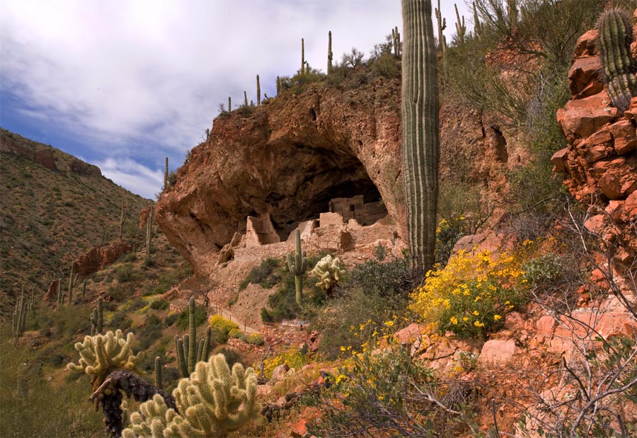
The Lower Cliff Dwelling in Spring
Tonto
Located within the northern range of the Sonoran Desert lie two cliff dwellings that were occupied from 1300-1450 CE (common era). They represent a vibrant culture consisting of local and immigrant groups that lived in the Tonto Basin. Together they
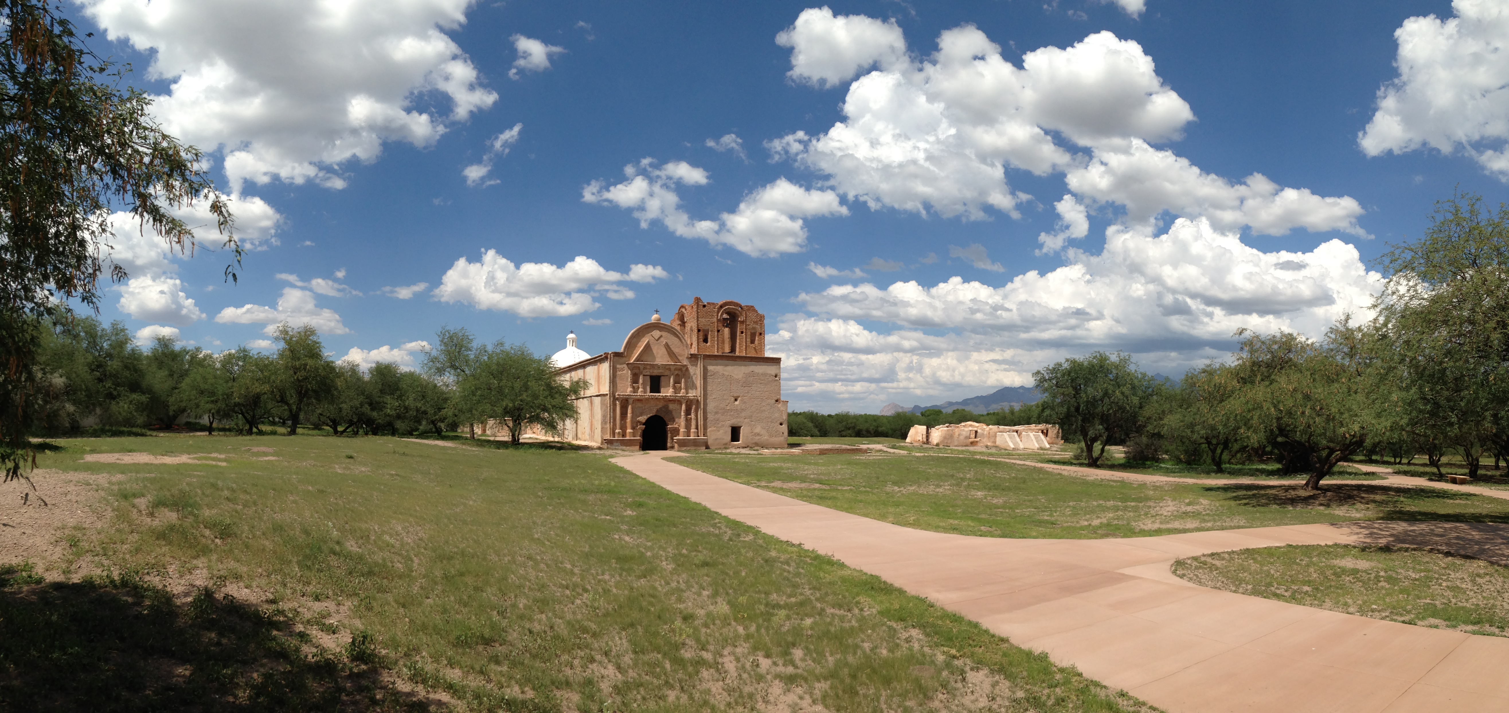
A summer day yields beautiful colors and a striking scene on the mission grounds.
Tumacácori
Tumacácori sits at a cultural crossroads in the Santa Cruz River valley. Here O’odham, Yaqui, and Apache people met and mingled with European Jesuit and Franciscan missionaries, settlers, and soldiers, sometimes in conflict and sometimes in cooperati
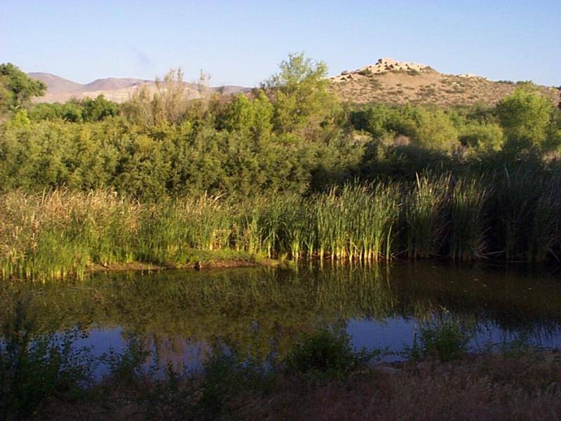
Tuzigoot Pueblo sits on a hilltop above an area perfect for farming. Tavasci Marsh provides water and other resources.
Tuzigoot
Water flows under and through this landscape, feeding the growth of people and towns. The Verde Valley is watered by snowmelt, summer monsoons, and springs that well up from the ancient sedimentary rocks. In the heart of the valley, a thousand years
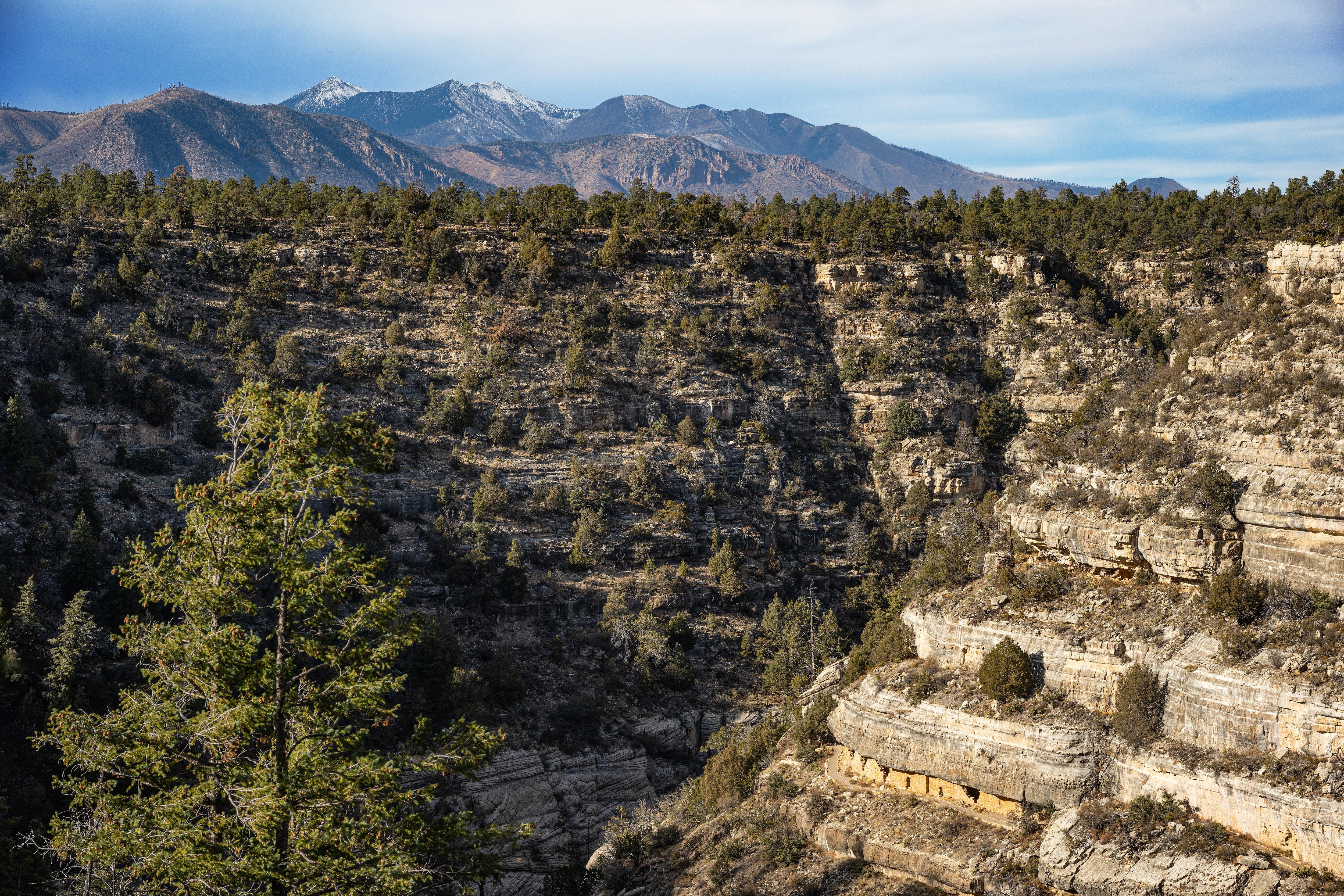
The dynamic landscape of Walnut Canyon was home to a thriving Native American community roughly 900 years ago.
Walnut Canyon
Since time immemorial, Indigenous Peoples have lived and traveled throughout Walnut Canyon’s dynamic landscape. Vibrant communities built their homes in the cliffs and farmed along the canyon’s rim. Today the park preserves this landscape, and the an
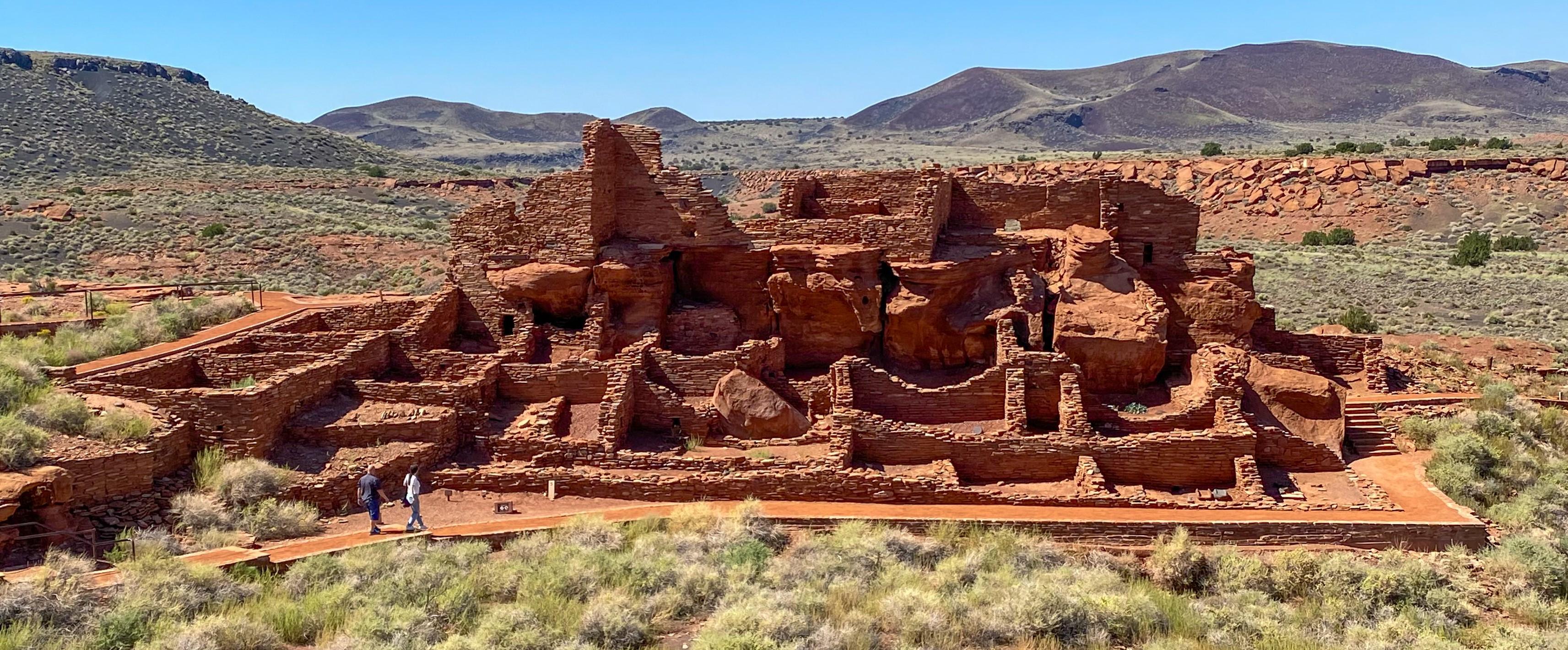
Wupatki, the monument's namesake pueblo, is made up of more than 100 rooms. The trail also features an ancient ball court and natural blowhole.
Wupatki
Nestled between the Painted Desert and ponderosa highlands of northern Arizona, Wupatki National Monument is an unlikely landscape for a thriving community. The early 1100's marked a time of cooler and wetter weather, when the ancestors of contempora