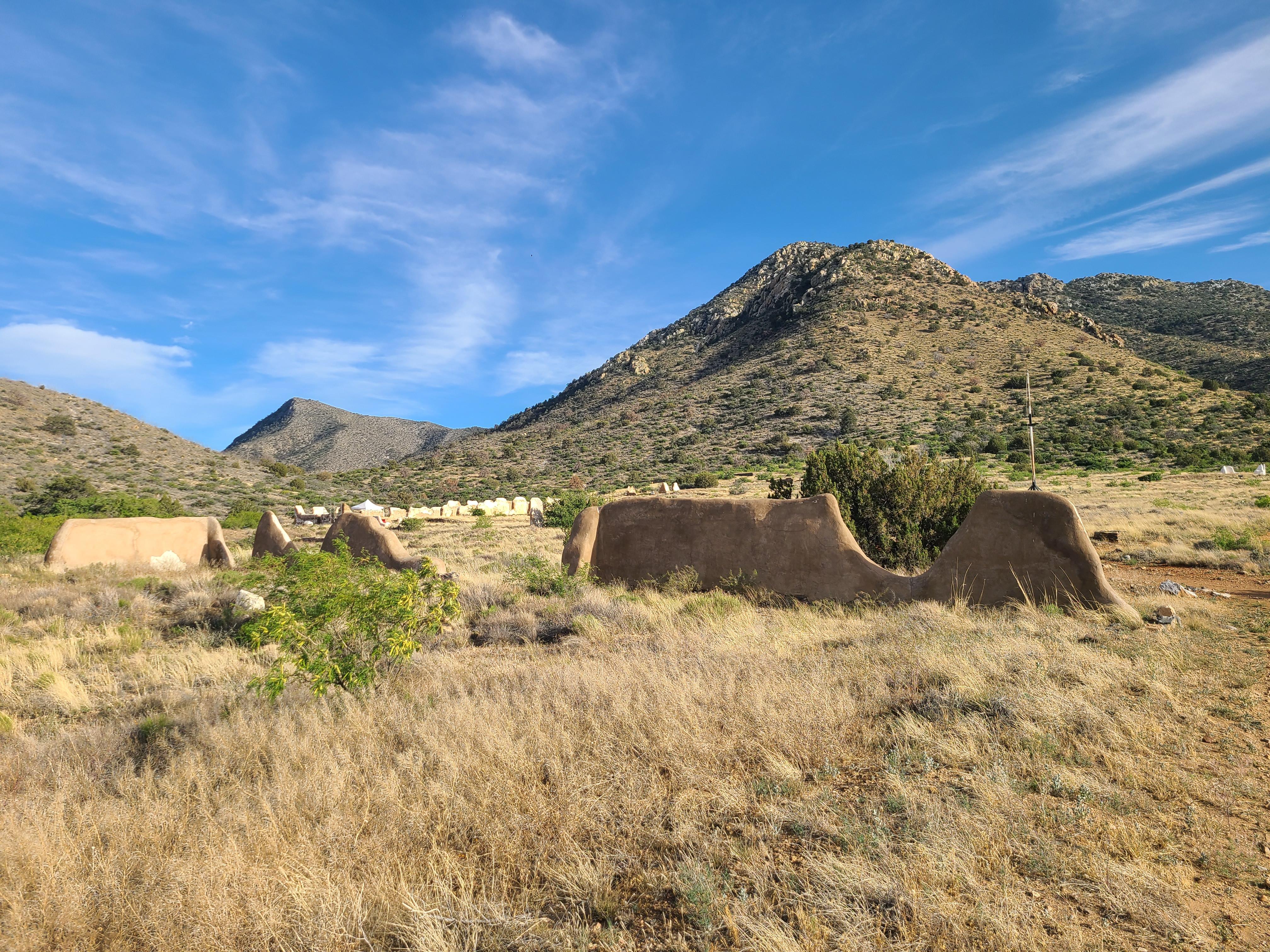
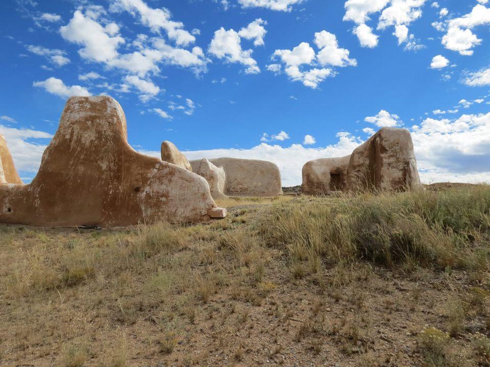
Like so many forts and settlements in the West, little remains of the outpost that once housed hundreds of soldiers.

The mountain howitzer is a symbolic relic from the active days of Fort Bowie
The Post Trader's store on a spring day.
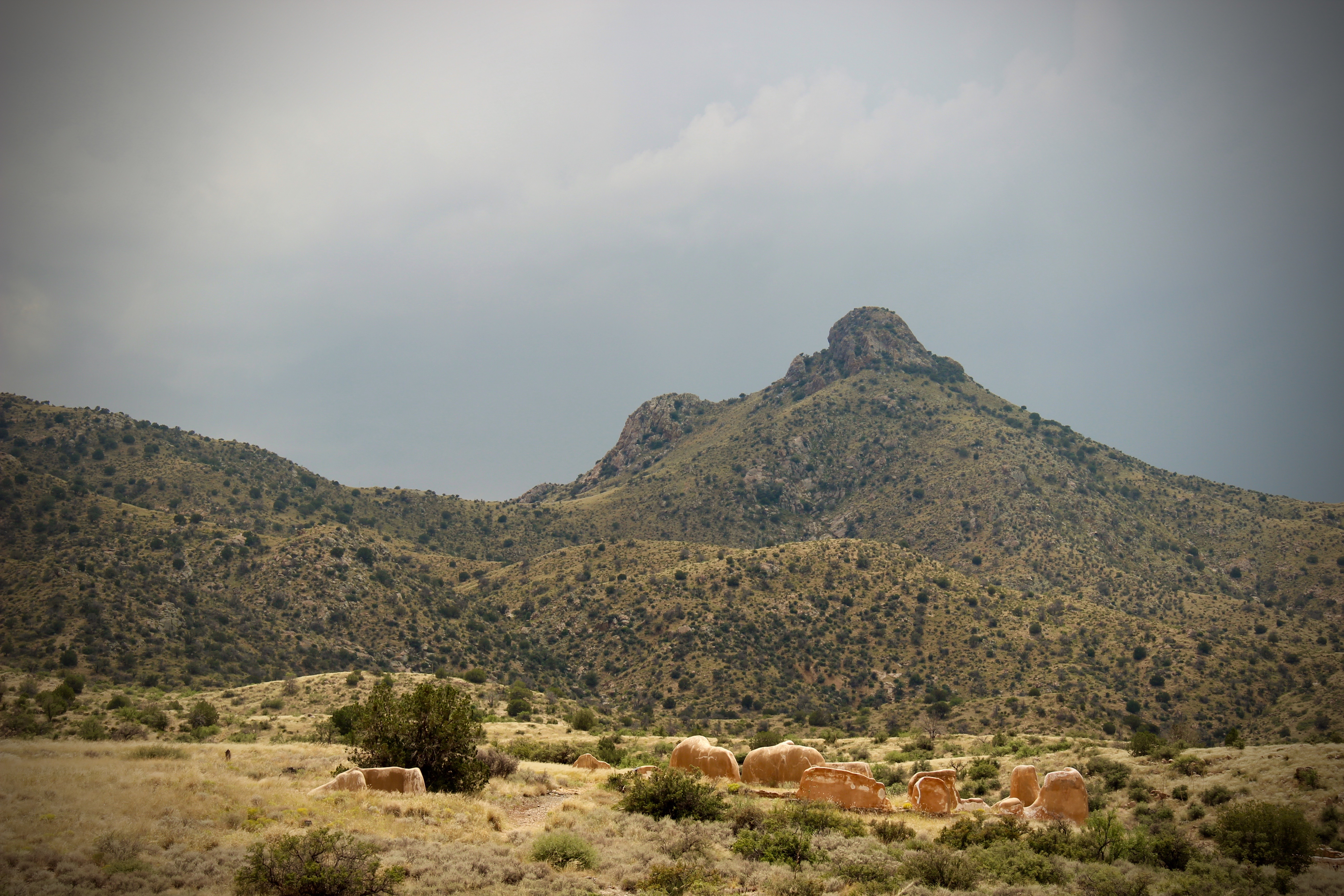
Fort Bowie was once a bustling frontier military fort. Today, the ruins offer a place of reflection.
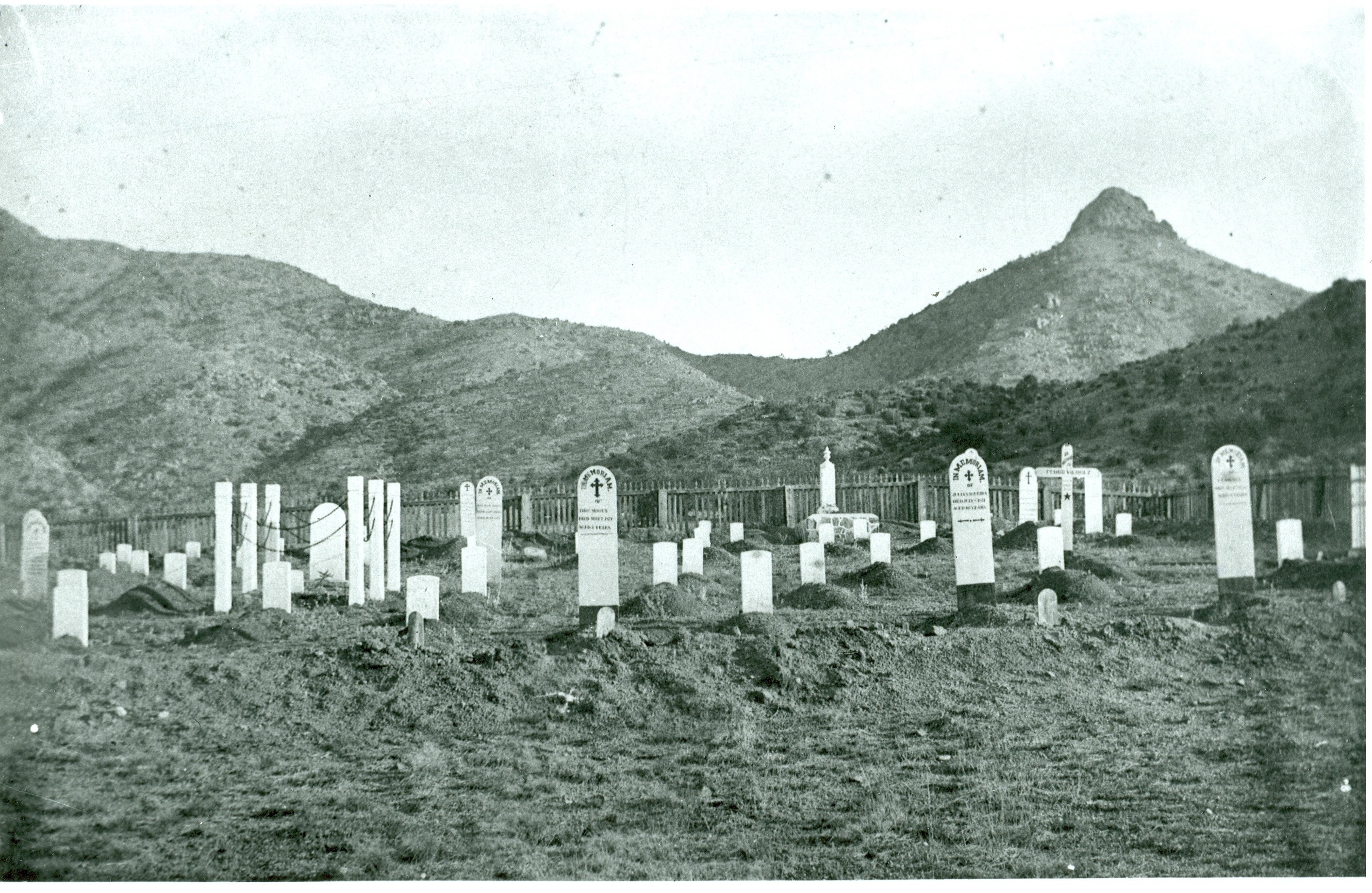
Hike the trail to see the cemetery where multiple eras of history and peoples converge.
Physical Address:
3500 South Apache Pass Road
Bowie, AZ 85605
Mailing Address:
P.O. Box 158
Bowie, AZ 85605
contact-details
Phone Number: 520-549-6751 Voice
Email Address: chir_info@nps.gov
Description: We are unable to mail physical maps, Junior Ranger, and other park materials. We encourage you to use our website for all your needs. For any questions that cannot be answered on our website, email is the best way to contact us. Please allow up to 14 days for a reply.
Fees
Entrance Fees
Entrance Passes
For nearly 25 years, Fort Bowie stood at the crossroads of the Chiricahua Apache's fight to defend their ancestral homeland and the U.S. Army's westward expansion. Today, visitors embark on a 3-mile scenic loop trail traversing the ground where this profound cultural collision forever altered the course of both American and Indigenous history.
park designation:National Historic Site
Directions:
From Willcox, AZ / points west on I-10: drive 23 miles east of Willcox on Interstate 10 to the the town of Bowie. Exit at the first Bowie exit and drive through the town. Follow the signs for Fort Bowie National Historic Site and turn south on Apache Pass Road. Drive 13 miles to the Fort Bowie Trailhead (the last mile of the road is unpaved). Be prepared to walk the three miles round trip to the ruins and back to your car.
For detailed directions, please visit this link.
Directions
Operating Hours:
Trails and Ruins
The Historic Site trails and ruins are open every day from sunrise to sunset. Please see Visitor Center tab for museum and visitor center hours.
Weather Information:
Activities

Hiking
Front-Country Hiking

Horse Trekking

Horseback Riding

Junior Ranger Program

Wildlife Watching

Birdwatching

Shopping

Bookstore and Park Store
Hiking
Front-Country Hiking
Horse Trekking
Horseback Riding
Junior Ranger Program
Wildlife Watching
Birdwatching
Shopping