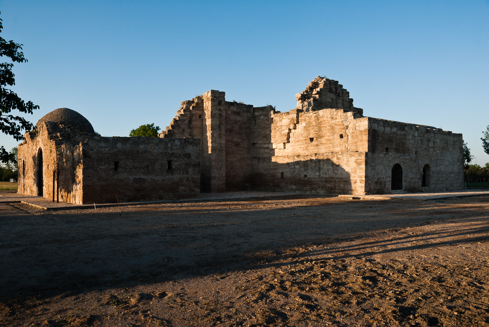
Construction of the mission church began in 1760 but was never completed. The outstanding ruins are virtually the only visible remains of the complex of missions established in the area. The purpose was to convert Coahuiltecan Indians to Catholicism.
Around 1746, explorer Jacinto de León discovered a ford that allowed safe passage across the Río Grande in this vicinity; it had probably been used for centuries by American Indians.
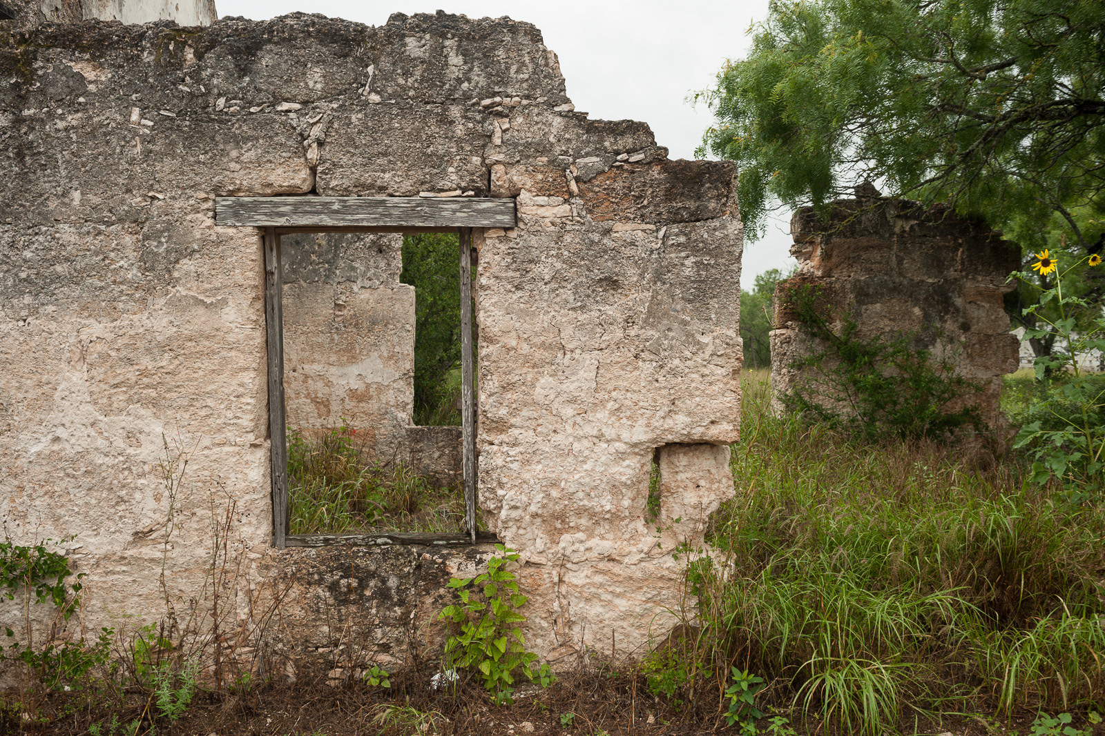
This national historic district consists of 13 stone houses (several in ruins) constructed from hewn sandstone blocks, chinked and plastered, ranging from rectangular flat roofed Colonial style buildings to hip roofed two room structures. Post-1750s.
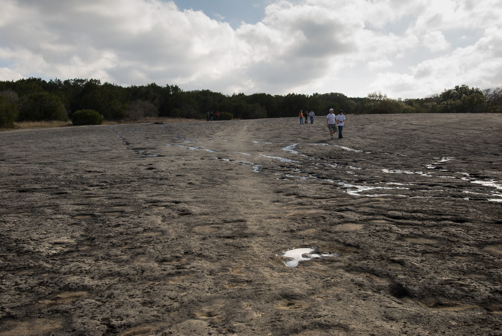
Recent research reveals that in 1716 the expedition of Domingo Ramón followed the left bank of Onion Creek along the western edge of McKinney Falls State Park to its junction with Williamson Creek. You can walk in rock indentations in the creek bed.
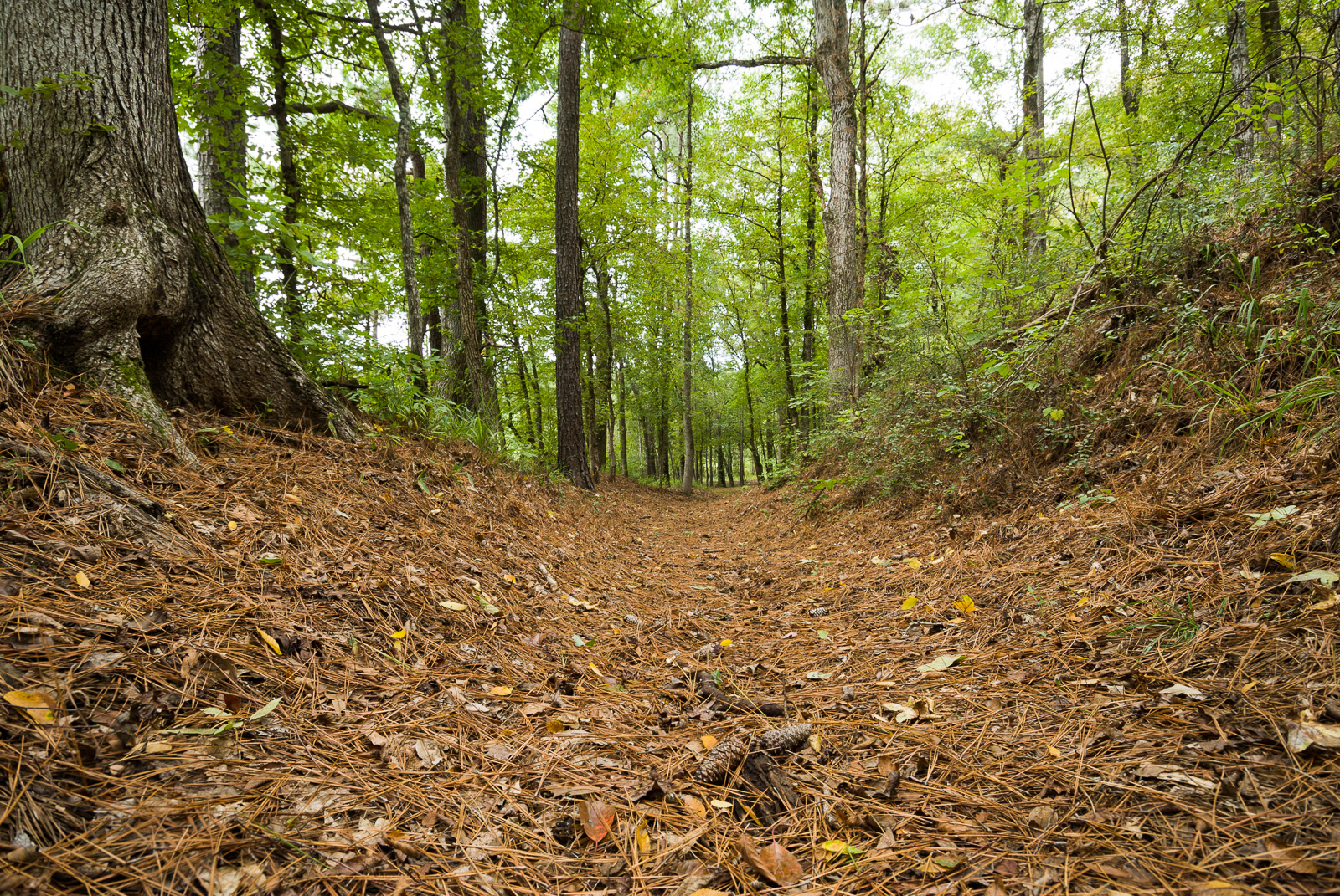
This 1.5-mile-long trail segment crosses an area that has remarkable visual integrity. The trail segment courses parallel to State Road 21 and at times crosses the highway.
Physical Address:
National Trails Office Regions 6, 7, & 8
El Camino Real de los Tejas National Historic Trail
Santa Fe, NM 87505
Mailing Address:
National Trails Office Regions 6, 7, & 8
El Camino Real de los Tejas National Historic Trail
Santa Fe, NM 87505
contact-details
Phone Number: N/A Voice
Email Address: ntir_information@nps.gov
Description:
Fees
Entrance Fees
Entrance Passes
Explore a diverse array of histories contained within El Camino Real de los Tejas’ 150-year life, including the Spanish struggle to missionize American Indian nations, the growth of cattle ranching in the Mexican period, and the movement for Texan independence and statehood.
park designation:National Historic Trail
Directions:
You can visit many sites of the El Camino Real de los Tejas National Historic Trail over the 2,580-mile historic route that crosses 2 states, and travels into Mexico, to Mexico City.
For detailed directions, please visit this link.
Directions
Operating Hours:
El Camino Real de los Tejas National Historic Trail
El Camino Real de los Tejas National Historic Trail is not a clearly marked hiking trail. Instead it is a route that passes through communities, urban areas, public lands, and Wilderness. The route travels across a variety of land ownerships and management, including private land. Each location varies as to the hours of operations and access. Please contact individual trail sites before your visit for more information.
Weather Information:
Due to the length of El Camino de los Tejas National Historic Trail, be sure to consult local weather sources for the region you'll be visiting. Check out the forecast with the National Weather Service and search for the area you'd like to visit.
Activities

Auto and ATV

Scenic Driving

Junior Ranger Program

Museum Exhibits
Auto and ATV
Scenic Driving
Junior Ranger Program