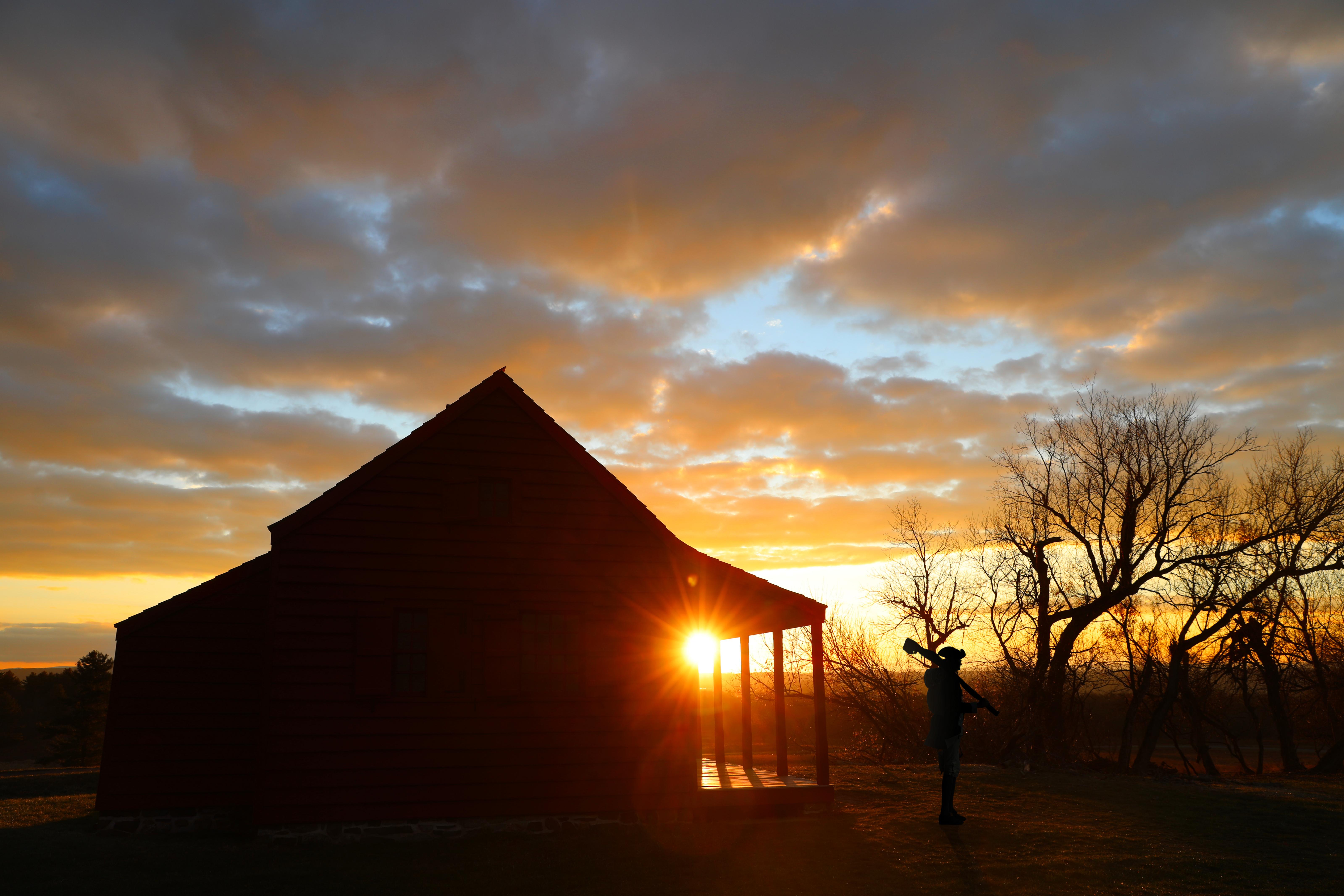
Neilson House was a mid-level American headquarters in the Battles of Saratoga.
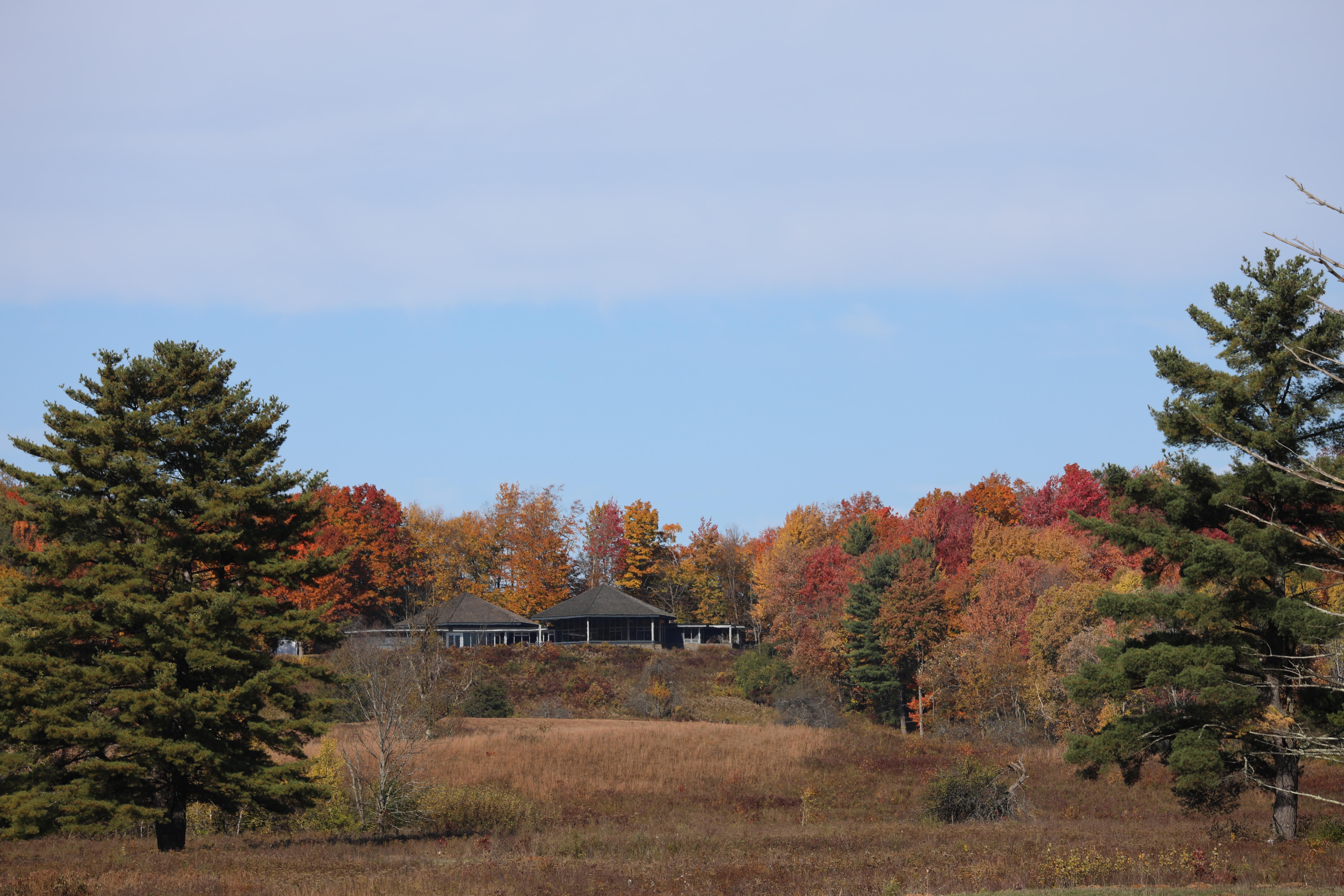
Our Visitor Center boasts a scenic view overlooking part of the Battlefield.
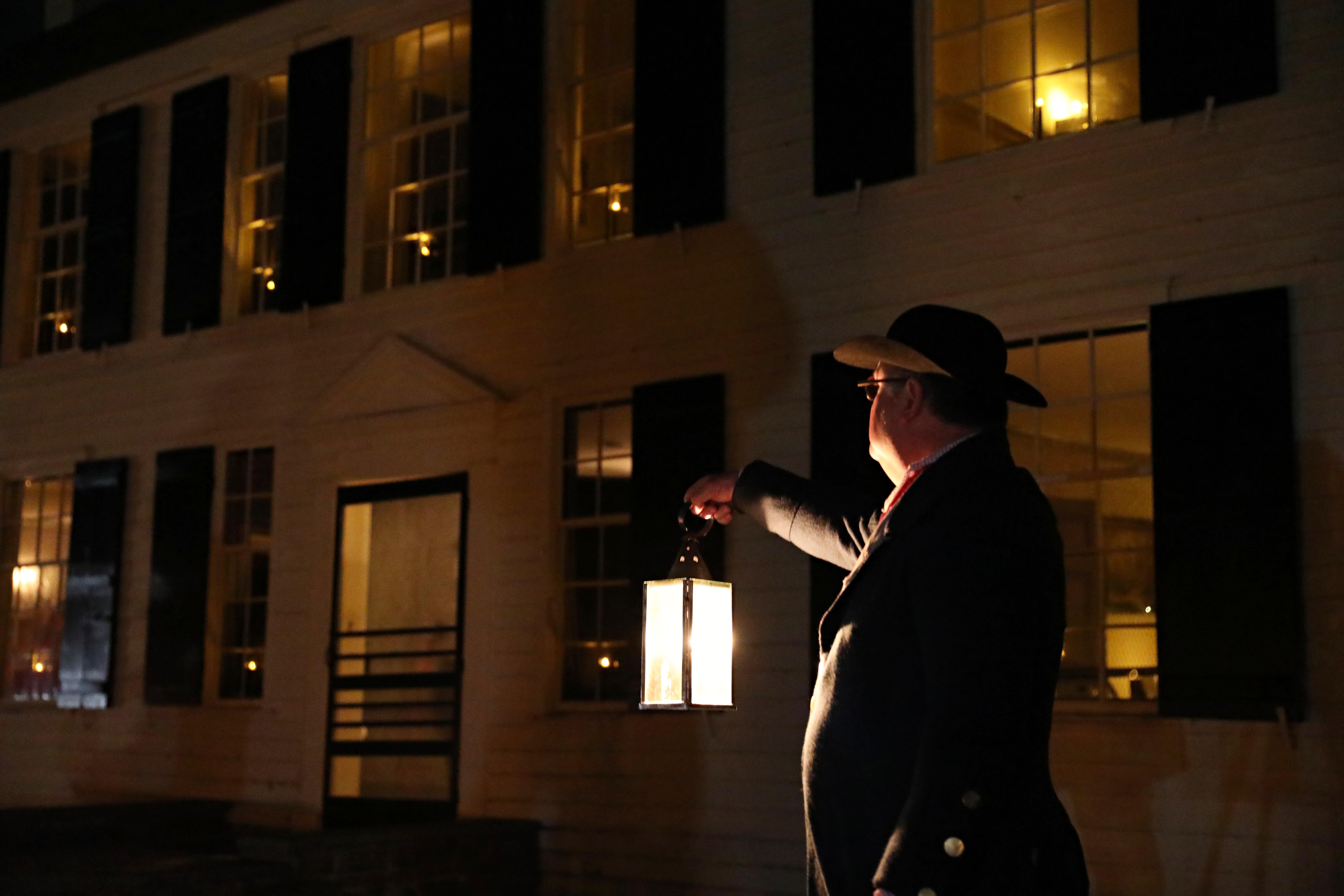
Schuyler House was the country estate of American General Philip Schuyler.
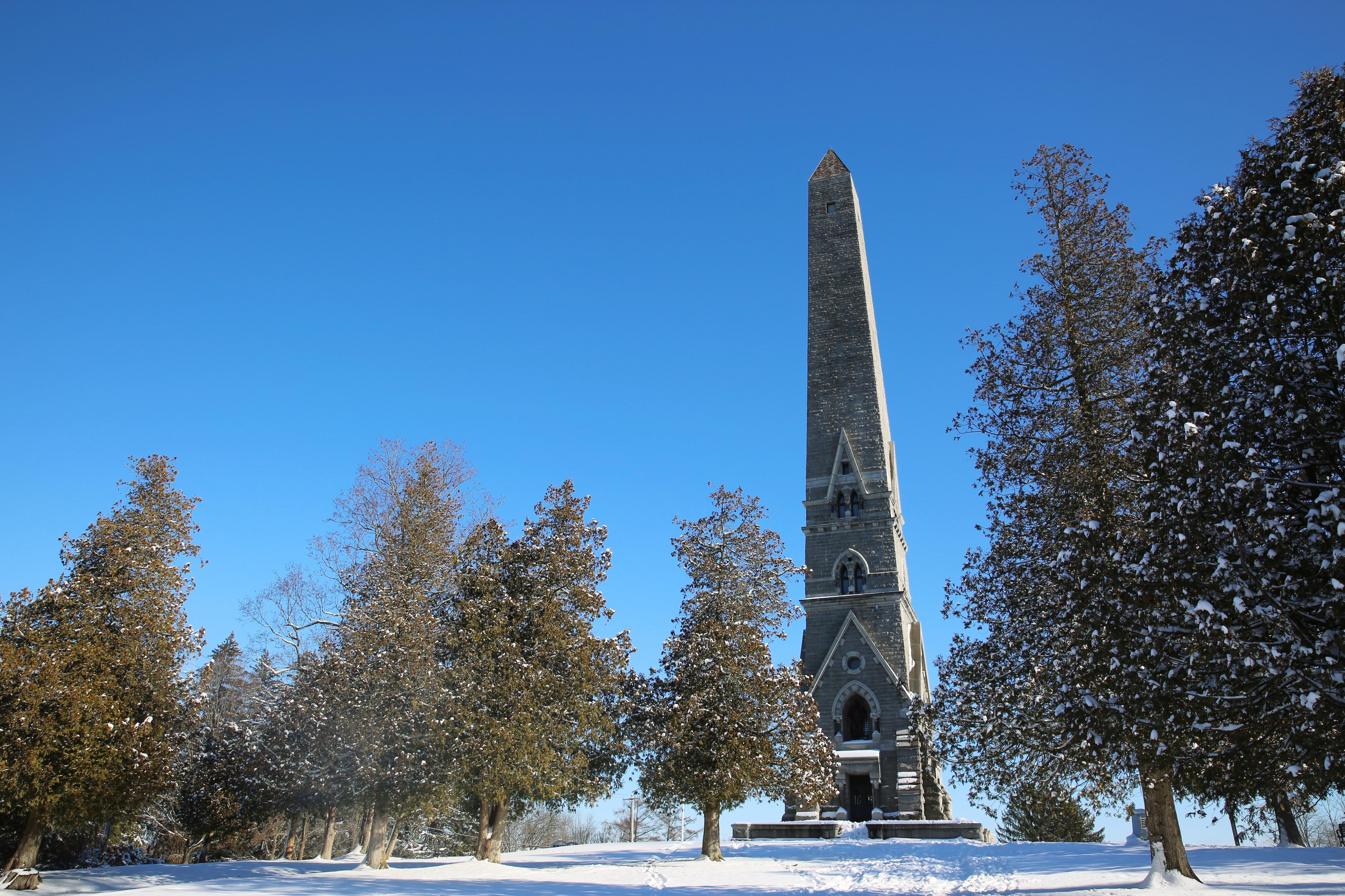
This 19th-century obelisk commemorates America's victory in the Battles of Saratoga.
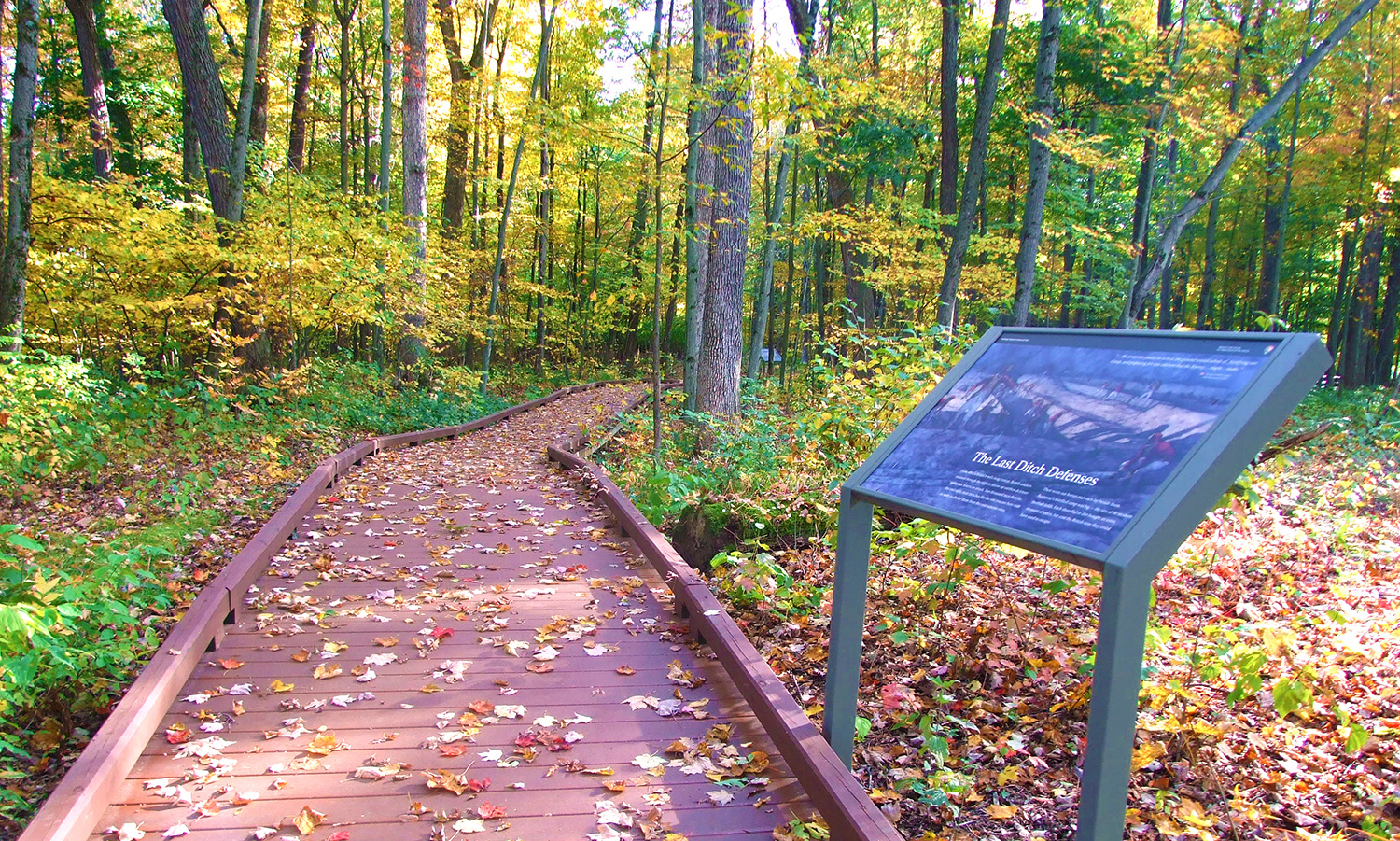
A half-mile path through Victory Woods tells of this last British camp following the Battles of Saratoga.
Physical Address:
648 Route 32
Stillwater, NY 12170
Mailing Address:
648 Route 32
Stillwater, NY 12170
contact-details
Phone Number: (518) 670-2985 Voice
Email Address: SARA_info@nps.gov
Description: Saratoga National Historical Park information line.
Fees
Entrance Fees
Entrance Passes
In 1777, a large British invasion force met an equally large American army here at Saratoga. After two intense battles, an eight-mile retreat, and a three-day siege, British General John Burgoyne surrendered his entire force. This first ever surrender of a British Army is one of the pivotal moments in determining the outcome of the Revolutionary War, forever changing the future of the world.
park designation:National Historical Park
Directions:
Saratoga National Historical Park is located between U.S. Route 4 and N.Y. Route 32, about 4 miles north of the Village of Stillwater, N.Y. The park is roughly 40 miles north of Albany, N.Y. and 14 miles southeast of Saratoga Springs, N.Y. More detailed directions, and downloadable maps, are available on our website.
For detailed directions, please visit this link.
Directions
Operating Hours:
Tour Road
The tour road is open to vehicles Apr. 1 through Nov. 30, weather permitting - inclement weather can result in delayed opening or early road closure. Tour road hours vary with the season.
Exceptions:
- Extended Hours (June 1, 2026 - September 1, 2026)
- Fall, Eastern Standard Time (November 3, 2026 - November 30, 2026)
- Winter (December 1, 2025 - March 31, 2026)
Philip Schuyler House
Open Friday, Saturday, and Sunday Tours at 10:00 am, 10:30 am, 11:00 am, and 11:30 am Open House 1:00 pm to 4:00 pm Grounds open sunrise to sunset
Exceptions:
- Winter (November 1, 2025 - May 20, 2026)
Saratoga Monument
The grounds are open from Sunrise to Sunset. The interior of the monument is closed for the season. This 155-foot stone obelisk was built in the last quarter of the 19th century to commemorate the American victory in the Battles of Saratoga. Visitors may climb up its 188 steps to take in amazing views of the surrounding area, with up to 30+ mile visibility on clear days.
Exceptions:
- Winter (October 13, 2025 - May 31, 2026)
Victory Woods
A self-guided, 1/2 mile developed pathway with interpretive signage brings visitors through Victory Woods. The path is made of plastic lumber and poly-coated pea gravel and is accessible to wheelchairs and strollers. **NOTE** path is NOT maintained in winter. After retreating north from Saratoga Battlefield, the British Army moved west to a ridge top where they made their final defense. Surrounded and nearly out of food, ammunition, and time, they surrendered to the Americans on October 17, 1777.
Pedestrian Access
All hiking trails are for pedestrian use only. Saratoga Battlefield has several miles of hiking trails, including its only marked trail, the 4 1/2 mile Wilkinson Trail - other trails are established but not marked. Pedestrians may also walk the Driving Tour Road on weekends using the marked Multi-Use Lane. **NOTE** Driving Tour Road is NOT plowed or shoveled during winter months.
Saratoga Surrender Site
The grounds are open from sunrise to sunset from April 1 to November 30. This outdoor memorial marks the site of the British Surrender after the Battles of Saratoga. The accessible sidewalk curves through the site and ends at a grand bronze sculpture overlooking the Hudson River. Located on Route 4, one mile south of Schuylerville.
Exceptions:
- Winter (December 1, 2025 - March 31, 2026)
Weather Information:
The park experiences all four seasons. Temperatures can be as low as -20 degrees Fahrenheit in winter and as high as 100 degrees Fahrenheit in summer. Check local weather reports for more detailed information.
Activities

Arts and Culture

Craft Demonstrations

Cultural Demonstrations

Live Music

Auto and ATV

Scenic Driving

Biking

Road Biking

Food

Picnicking

Guided Tours

Self-Guided Tours - Walking

Self-Guided Tours - Auto

Hiking

Front-Country Hiking

Horse Trekking

Horseback Riding

Junior Ranger Program

Tubing

Snow Tubing

Skiing

Cross-Country Skiing

Snow Play

Snowshoeing

Wildlife Watching

Birdwatching

Park Film

Museum Exhibits

Shopping

Bookstore and Park Store

Gift Shop and Souvenirs

Arts and Culture

Craft Demonstrations

Cultural Demonstrations

Live Music

Auto and ATV

Scenic Driving

Biking

Road Biking

Food

Picnicking

Guided Tours

Self-Guided Tours - Walking

Self-Guided Tours - Auto

Hiking

Front-Country Hiking

Horse Trekking

Horseback Riding

Junior Ranger Program

Tubing

Snow Tubing

Skiing

Cross-Country Skiing

Snow Play

Snowshoeing

Wildlife Watching

Birdwatching

Park Film

Museum Exhibits

Shopping

Bookstore and Park Store
